Topics / #openstreetmap
Openstreetmap projects on GitHub
Free world map data and the ecosystem of tools for rendering and building geographic applications.
As of , the most-starred Openstreetmap projects on GitHub are arnis (18.3K stars), organicmaps (15.7K stars) and prettymaps (14.3K stars). GitHub.Locker tracks 10 Openstreetmap repositories with 97.8K stars combined. The fastest-growing on October 17 was geo-sleuth, with +131 stars in a day.
Hot right now
Most stars gained in a day · Oct 17
 +131
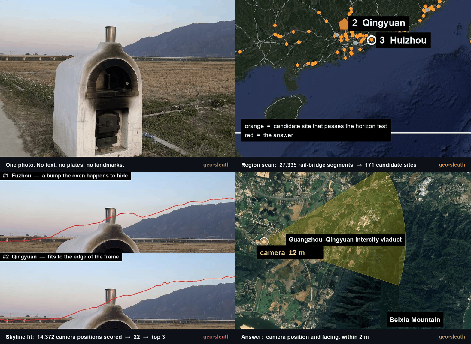
+131geo-sleuth
Oldcircle/geo-sleuth · ★ 3.2Kgeo-sleuth is an Agent Skill that figures out where a photo was taken by combining OpenStreetMap geometry, elevation skylines, satellite imagery and street view, run inside AI coding agents like Claude Code, Codex, Cursor, Gemini CLI, OpenCode and GitHub Copilot.
 +22
+22Vela
PimpinPumpkin/Vela · ★ 2KVela is a degoogled maps and turn-by-turn navigation app for Android that runs with zero Google Play Services. It draws the basemap from open data (OpenStreetMap, Overture Maps, AllThePlaces) and only asks Google's public web endpoints, anonymously and per-device, for things open data lacks like live traffic, reviews and photos.
 +15
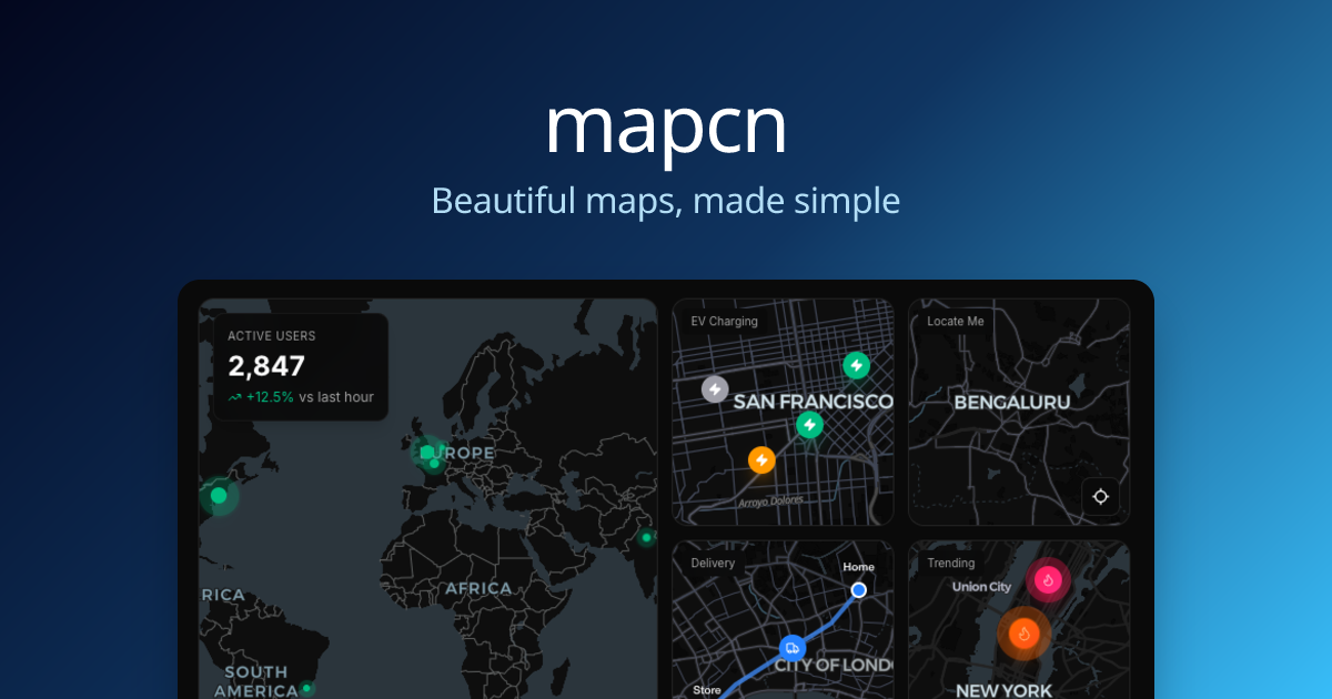
+15mapcn
AnmolSaini16/mapcn · ★ 12.3Kmapcn is a free, open-source library of ready-to-use React map components built on MapLibre GL and styled to match shadcn/ui, letting you drop maps into a React app with zero configuration.
 +10
+10arnis
louis-e/arnis · ★ 18.3KArnis generates detailed Minecraft worlds (Java Edition 1.17+, Bedrock Edition, and Luanti/Minetest) that mirror real-world geography by pulling data from OpenStreetMap and elevation sources.
The all-time top
10 projects · by stars
- 18.3K#1 · louis-e/arnis
arnis
Arnis generates detailed Minecraft worlds (Java Edition 1.17+, Bedrock Edition, and Luanti/Minetest) that mirror real-world geography by pulling data from OpenStreetMap and elevation sources.
- 15.7K
 #2 · organicmaps/organicmaps
organicmaps
Organic Maps is a free offline maps and GPS navigation app for Android and iOS, built on OpenStreetMap data, aimed at hikers, cyclists, and travelers.
- 14.3K
 #3 · marceloprates/prettymaps
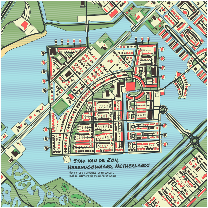
prettymaps
prettymaps is a Python library that draws stylized, artistic maps from OpenStreetMap data, combining osmnx, matplotlib, shapely and vsketch to render streets, buildings, water and other features as a custom-styled figure.
- 4
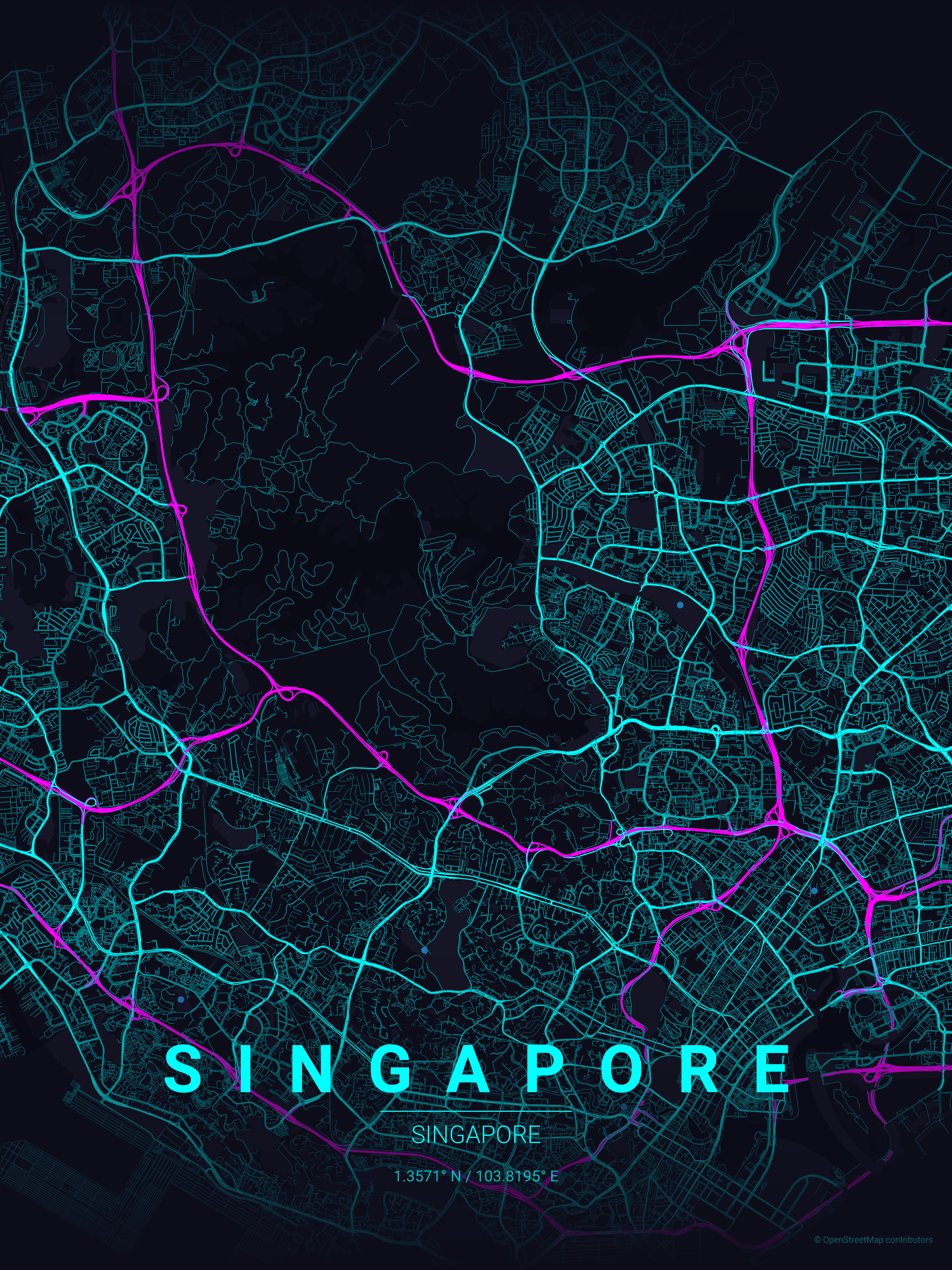
maptoposter
14.2Koriginalankur/maptoposter · PythonMapToPoster is a Python script that generates beautiful, minimalist map posters of any city in the world, rendering street networks with OpenStreetMap data into themed, print-ready artwork.
- 5

Meshroom
13Kalicevision/Meshroom · PythonMeshroom is an open-source, node-based visual programming framework for building and running photogrammetry and 3D computer-vision pipelines, turning collections of 2D photos into 3D models, camera tracks, HDR panoramas, and more.
- 6
mapcn
12.3KAnmolSaini16/mapcn · TypeScriptmapcn is a free, open-source library of ready-to-use React map components built on MapLibre GL and styled to match shadcn/ui, letting you drop maps into a React app with zero configuration.
- 7

terraink
4.2Kyousifamanuel/terraink · TypeScriptTerraink is a cartographic poster engine that generates unique, customizable map posters for any city or location in the world using real OpenStreetMap data.
- 8
geo-sleuth
3.2KOldcircle/geo-sleuth · Pythongeo-sleuth is an Agent Skill that figures out where a photo was taken by combining OpenStreetMap geometry, elevation skylines, satellite imagery and street view, run inside AI coding agents like Claude Code, Codex, Cursor, Gemini CLI, OpenCode and GitHub Copilot.
- 9
Vela
2KPimpinPumpkin/Vela · KotlinVela is a degoogled maps and turn-by-turn navigation app for Android that runs with zero Google Play Services. It draws the basemap from open data (OpenStreetMap, Overture Maps, AllThePlaces) and only asks Google's public web endpoints, anonymously and per-device, for things open data lacks like live traffic, reviews and photos.
- 10
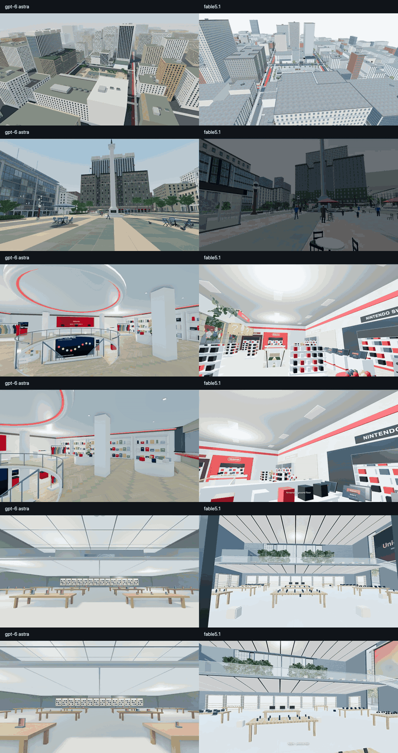
fable51-worlds
523PhiloLabs/fable51-worlds · JavaScriptThis project turns a single brief - a sentence, a photograph, or a video clip - into a walkable 3D world, generated by Claude-based agent swarms called 'Fable 5.1' that research the real place, model it, render it, and verify it.
Related topics
Often tagged together