




 This GitHub page and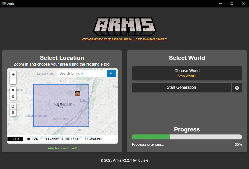


What is this?
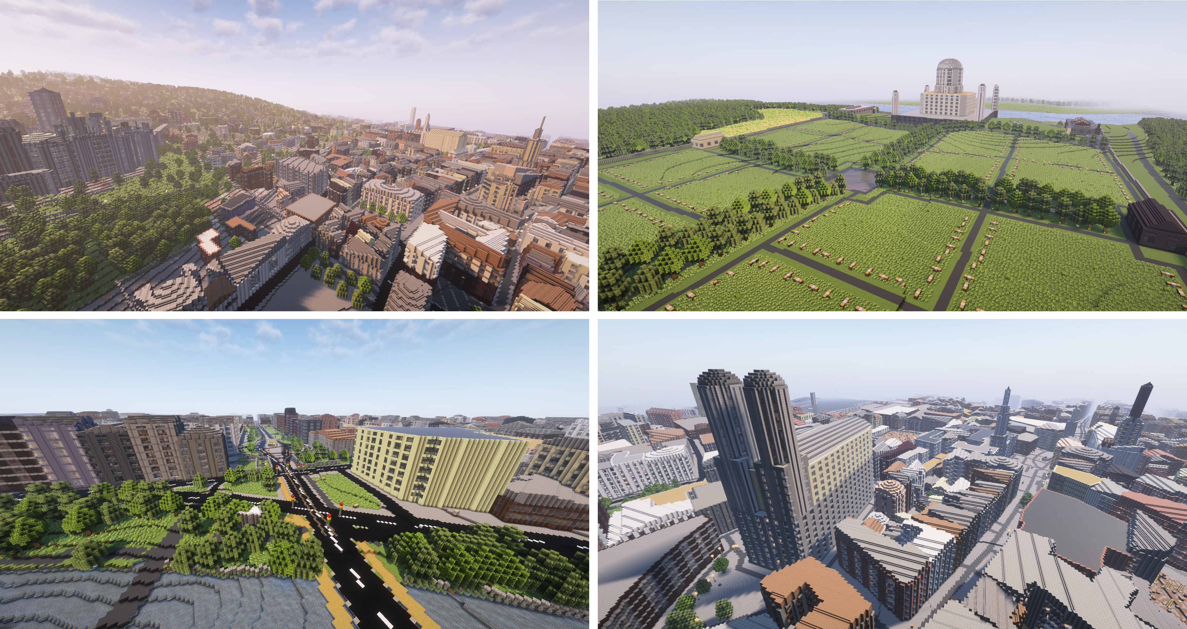
 Arnis generates detailed Minecraft worlds (Java Edition 1.17+, Bedrock Edition, and Luanti/Minetest) that mirror real-world geography by pulling data from OpenStreetMap and elevation sources.
Arnis generates detailed Minecraft worlds (Java Edition 1.17+, Bedrock Edition, and Luanti/Minetest) that mirror real-world geography by pulling data from OpenStreetMap and elevation sources.Is this a desktop app or a command-line tool?It's both: a desktop GUI app (built with Tauri) and a command-line tool with its own flags, so you can either click an area on a map or run it headless via CLI.
It's both: a desktop GUI app (built with Tauri) and a command-line tool with its own flags, so you can either click an area on a map or run it headless via CLI.How do I generate a world?Download the latest release or compile it yourself, then pick an area with the rectangle tool on the map, select your Minecraft world folder, and click Start Generation.
Download the latest release or compile it yourself, then pick an area with the rectangle tool on the map, select your Minecraft world folder, and click Start Generation.Do I need anything installed besides the app itself?No external accounts are required; it fetches OpenStreetMap and elevation data on its own, though Nix users can alternatively run it directly via 'nix run'.
No external accounts are required; it fetches OpenStreetMap and elevation data on its own, though Nix users can alternatively run it directly via 'nix run'.What do the different generation modes change?The --mode flag controls what gets built: 'geo-terrain' places buildings and roads on real elevation terrain (default), 'geo-only' puts OSM objects on flat ground, and 'terrain-only' generates just the real elevation terrain with no OSM objects at all.
The --mode flag controls what gets built: 'geo-terrain' places buildings and roads on real elevation terrain (default), 'geo-only' puts OSM objects on flat ground, and 'terrain-only' generates just the real elevation terrain with no OSM objects at all.Which operating systems does it run on?Arnis targets Windows, macOS, and Linux as first-class platforms.
Arnis targets Windows, macOS, and Linux as first-class platforms.Is it safe to only download Arnis from GitHub?Yes — the project explicitly warns that only this GitHub page and arnismc.com are official, and any other download source may be malicious.
Yes — the project explicitly warns that only this GitHub page and arnismc.com are official, and any other download source may be malicious.Is there a way to use Arnis without installing anything?Yes, a companion tool called MapSmith generates worlds directly in your browser with no install required, and also supports mobile generation and larger map sizes.
Yes, a companion tool called MapSmith generates worlds directly in your browser with no install required, and also supports mobile generation and larger map sizes.Can I customize what gets built besides the area itself?Yes, you can adjust settings like world scale, the spawn point, and whether building interiors are generated.
Yes, you can adjust settings like world scale, the spawn point, and whether building interiors are generated.Has Arnis gotten any outside recognition?Yes — it's been covered by Hackaday, Tom's Hardware, XDA Developers, and used in academic work including an AWS case study on elevation datasets and a K-12 flood-education game called Floodcraft.
Yes — it's been covered by Hackaday, Tom's Hardware, XDA Developers, and used in academic work including an AWS case study on elevation datasets and a K-12 flood-education game called Floodcraft.What does the --overture flag do?It's an additional data-fetch option, but it has no effect when using terrain-only mode since that mode skips both the OpenStreetMap query and the Overture fetch entirely.
It's an additional data-fetch option, but it has no effect when using terrain-only mode since that mode skips both the OpenStreetMap query and the Overture fetch entirely.What are similar projects?escrcpy, spacedrive, SwitchHosts, dbx, BongoCat, ooosplat, omnyssh, photosuite
escrcpy, spacedrive, SwitchHosts, dbx, BongoCat, ooosplat, omnyssh, photosuiteWhich topics is it in?mapping, openstreetmap, minecraft, procedural-generation, geospatial, tauri, rust, gui, desktop-app, apache-2.0, cross-platform, windows
mapping, openstreetmap, minecraft, procedural-generation, geospatial, tauri, rust, gui, desktop-app, apache-2.0, cross-platform, windows