






5.1K ·GitHub
What is this?
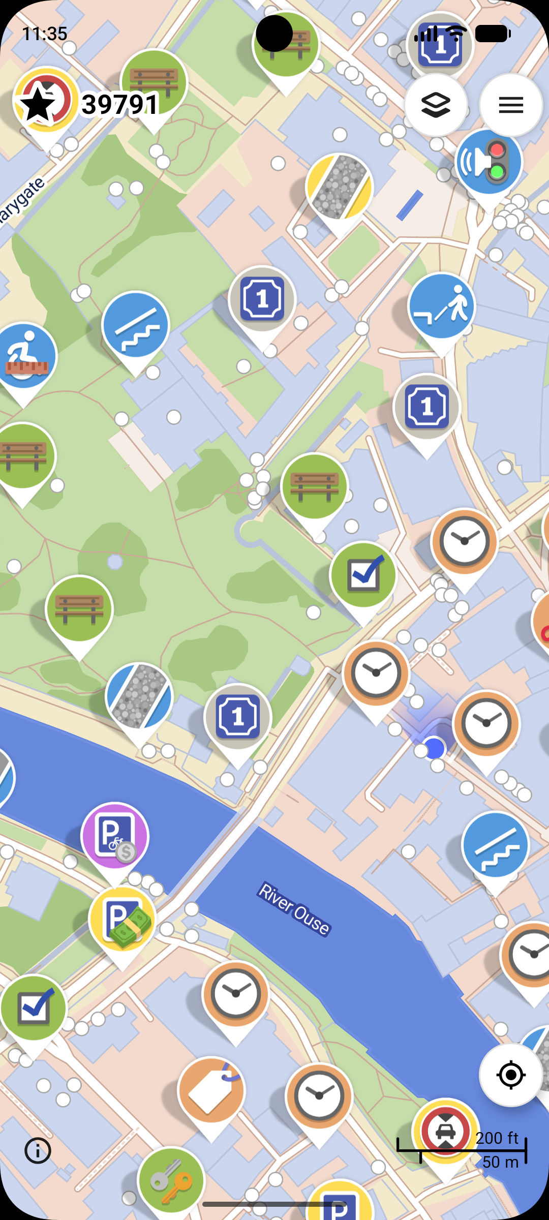
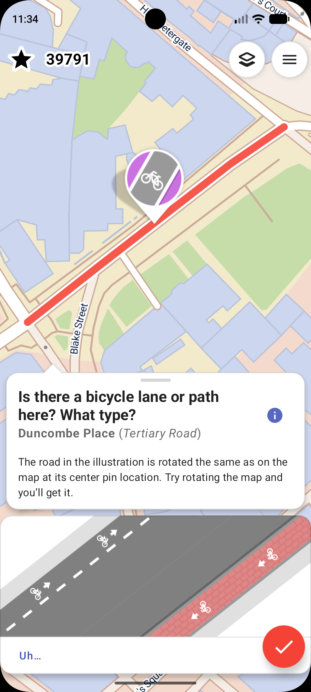
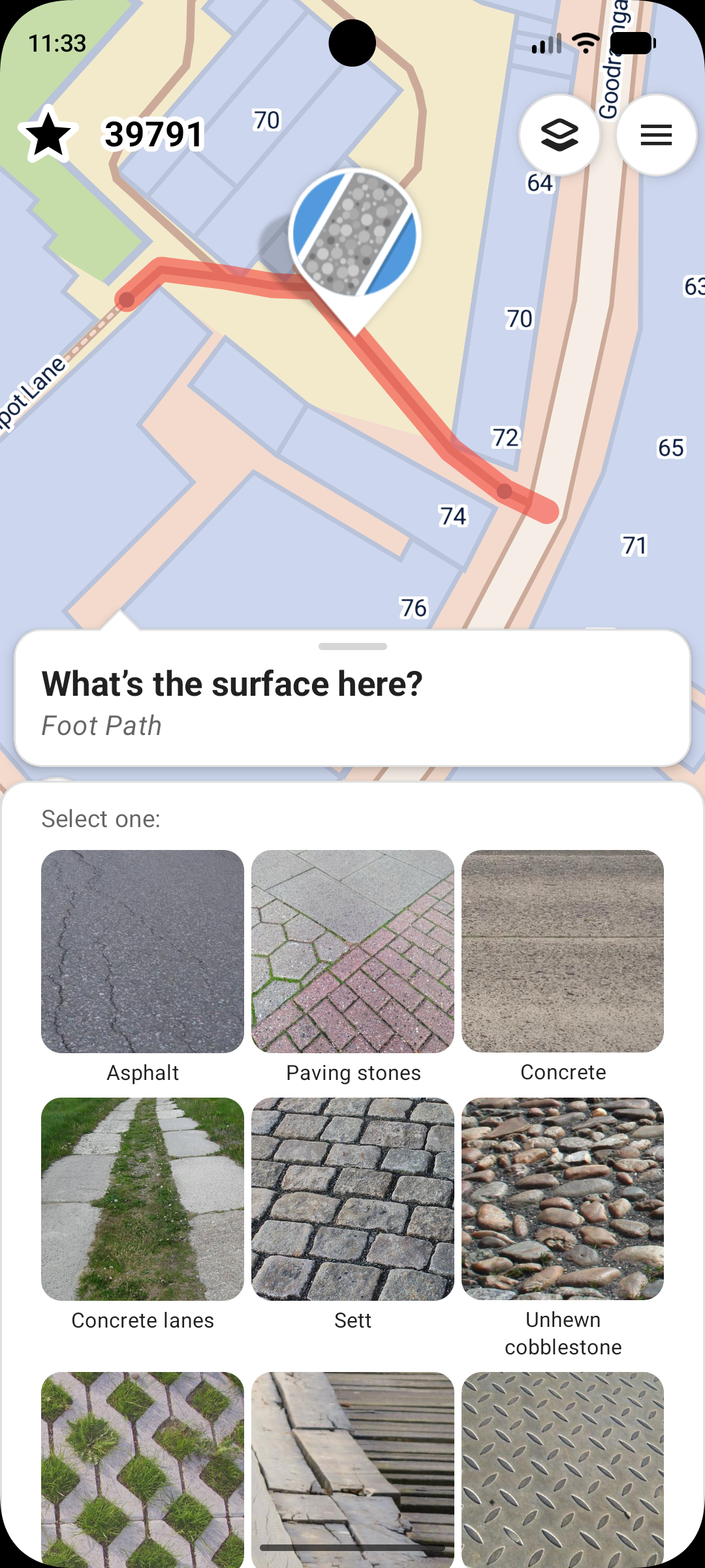
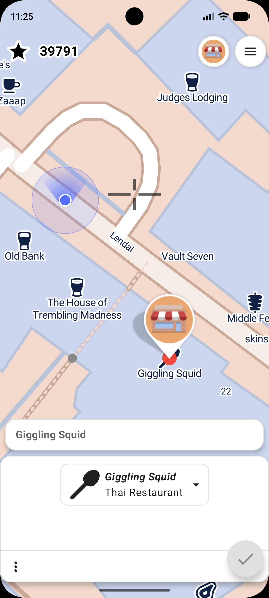
 StreetComplete is an easy-to-use OpenStreetMap editor for Android and iOS that lets you improve map data by answering simple survey questions, without needing any OSM tagging knowledge.
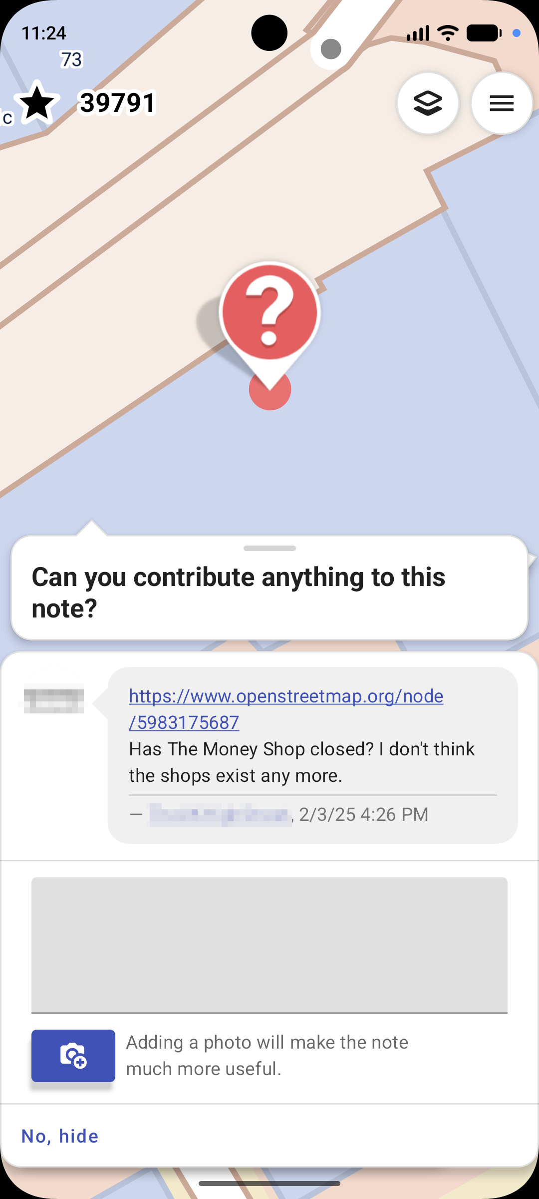
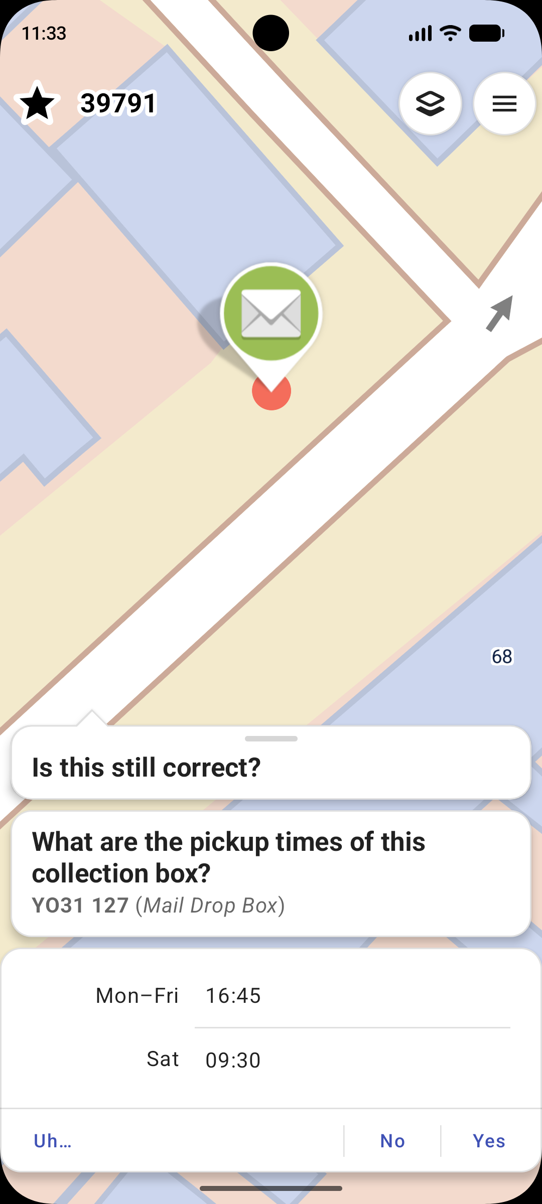
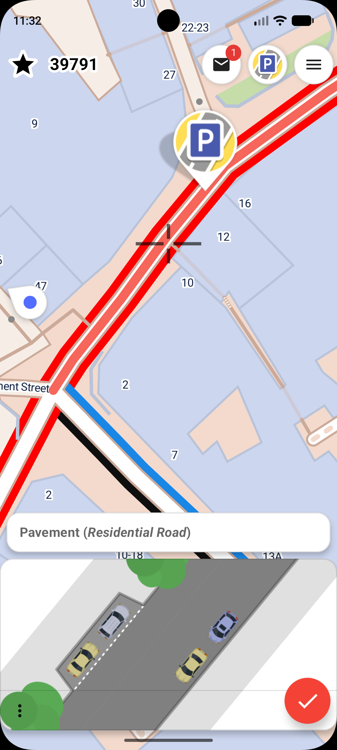
Is this a full map editor like iD or JOSM, or something simpler?It is a simplified, quest-based editor: instead of editing raw OSM tags, it shows markers for nearby places where info is missing and asks a plain-language question like 'What is the name of this road?' with a text field.
It is a simplified, quest-based editor: instead of editing raw OSM tags, it shows markers for nearby places where info is missing and asks a plain-language question like 'What is the name of this road?' with a text field.How do I start fixing the map?Install the app on your Android or iOS device, sign in with your OSM account, and the app automatically shows quest markers near you on the map that you can tap and answer on site.
Install the app on your Android or iOS device, sign in with your OSM account, and the app automatically shows quest markers near you on the map that you can tap and answer on site.Do I need to know OSM tagging schemes to use it?No. The app is designed for people with zero OSM knowledge; it translates your plain answers into proper OSM edits automatically.
No. The app is designed for people with zero OSM knowledge; it translates your plain answers into proper OSM edits automatically.Is this meant to replace full OSM editors like JOSM?No, quests are intentionally limited to things answerable with simple yes/no or short text answers, so it won't let you do complex mapping edits — just targeted surveys.
No, quests are intentionally limited to things answerable with simple yes/no or short text answers, so it won't let you do complex mapping edits — just targeted surveys.Can I use it without an internet connection while surveying?Yes, it's built to work offline on site and to be economical with mobile data, syncing your answers to OSM when you're back online.
Yes, it's built to work offline on site and to be economical with mobile data, syncing your answers to OSM when you're back online.Where do my answers go?Your answers are uploaded directly to the OSM database under your own OSM account as proper changesets, not stored privately by StreetComplete.
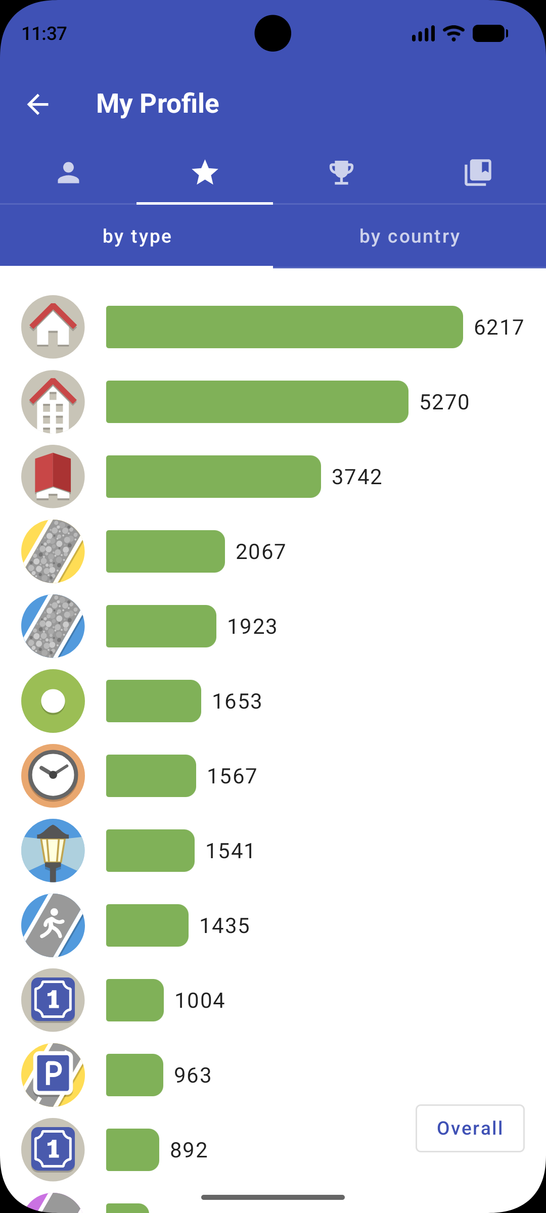
Your answers are uploaded directly to the OSM database under your own OSM account as proper changesets, not stored privately by StreetComplete.What kinds of quests does it ask?Quests cover things like road names, shop opening hours, surface types, and other missing details near your location; there's a community-maintained list of all quest types on the OSM wiki.
Quests cover things like road names, shop opening hours, surface types, and other missing details near your location; there's a community-maintained list of all quest types on the OSM wiki.Is the project community-funded or commercial?It's sponsored, not commercial: funders have included the NLnet Foundation, the German Prototype Fund, and JawgMaps, which provides free background map tiles.
It's sponsored, not commercial: funders have included the NLnet Foundation, the German Prototype Fund, and JawgMaps, which provides free background map tiles.Is iOS support as mature as Android?iOS support is newer; it was specifically funded through the Prototype Fund in 2024 to bring StreetComplete to iOS, implying it followed the longer-established Android version.
iOS support is newer; it was specifically funded through the Prototype Fund in 2024 to bring StreetComplete to iOS, implying it followed the longer-established Android version.What are similar projects?Vela, dawarich, arnis, ytdlnis, vivi-music, Levyra-deepsound, YumaPlayer, uhabits
Vela, dawarich, arnis, ytdlnis, vivi-music, Levyra-deepsound, YumaPlayer, uhabitsWhich topics is it in?survey, mapping, openstreetmap, geo, geospatial, ios-app, android-app, editor, kotlin, mobile-app, offline, mobile
survey, mapping, openstreetmap, geo, geospatial, ios-app, android-app, editor, kotlin, mobile-app, offline, mobile