City Map Poster Generator
Generate beautiful, minimalist map posters for any city in the world.
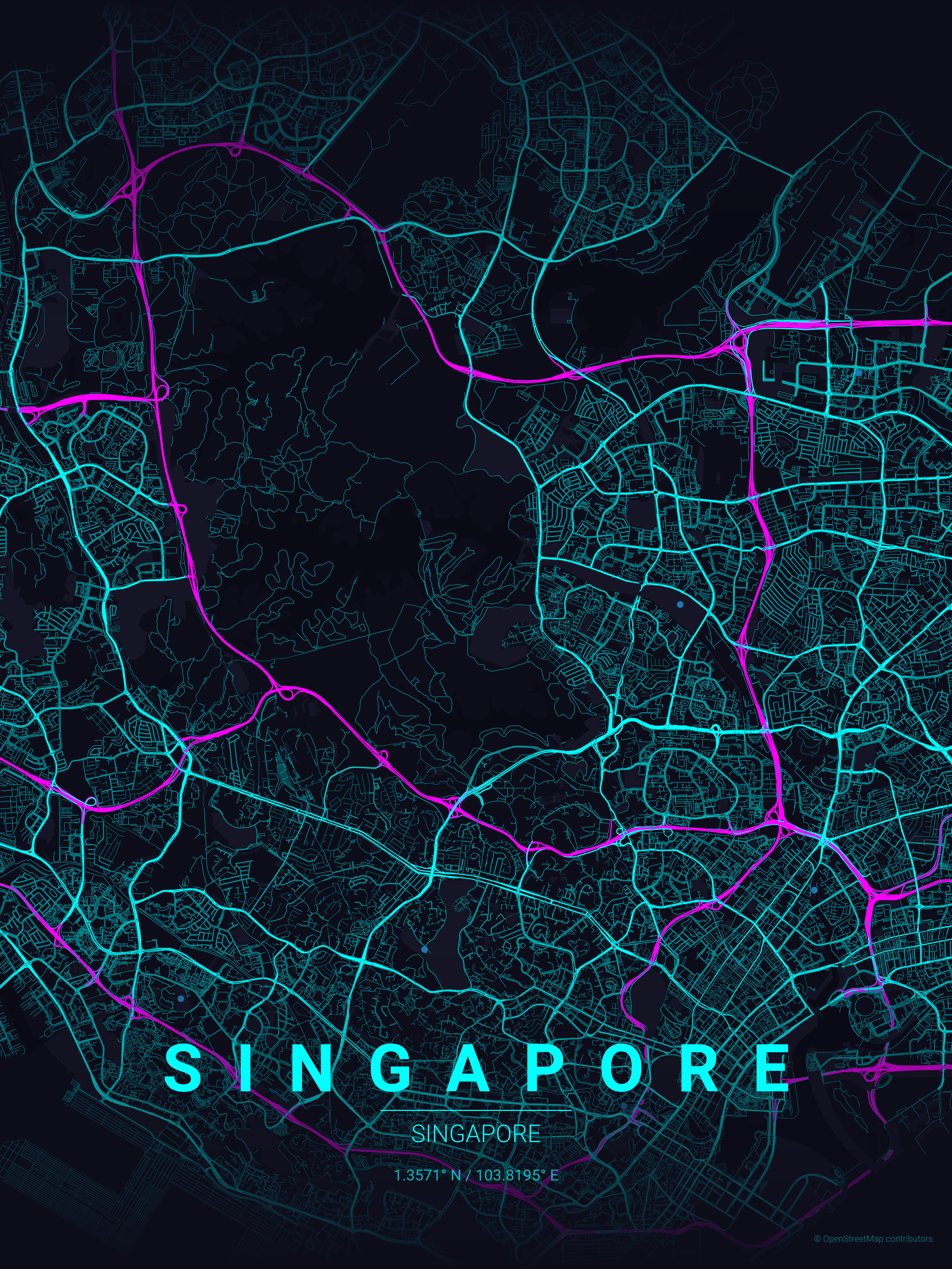
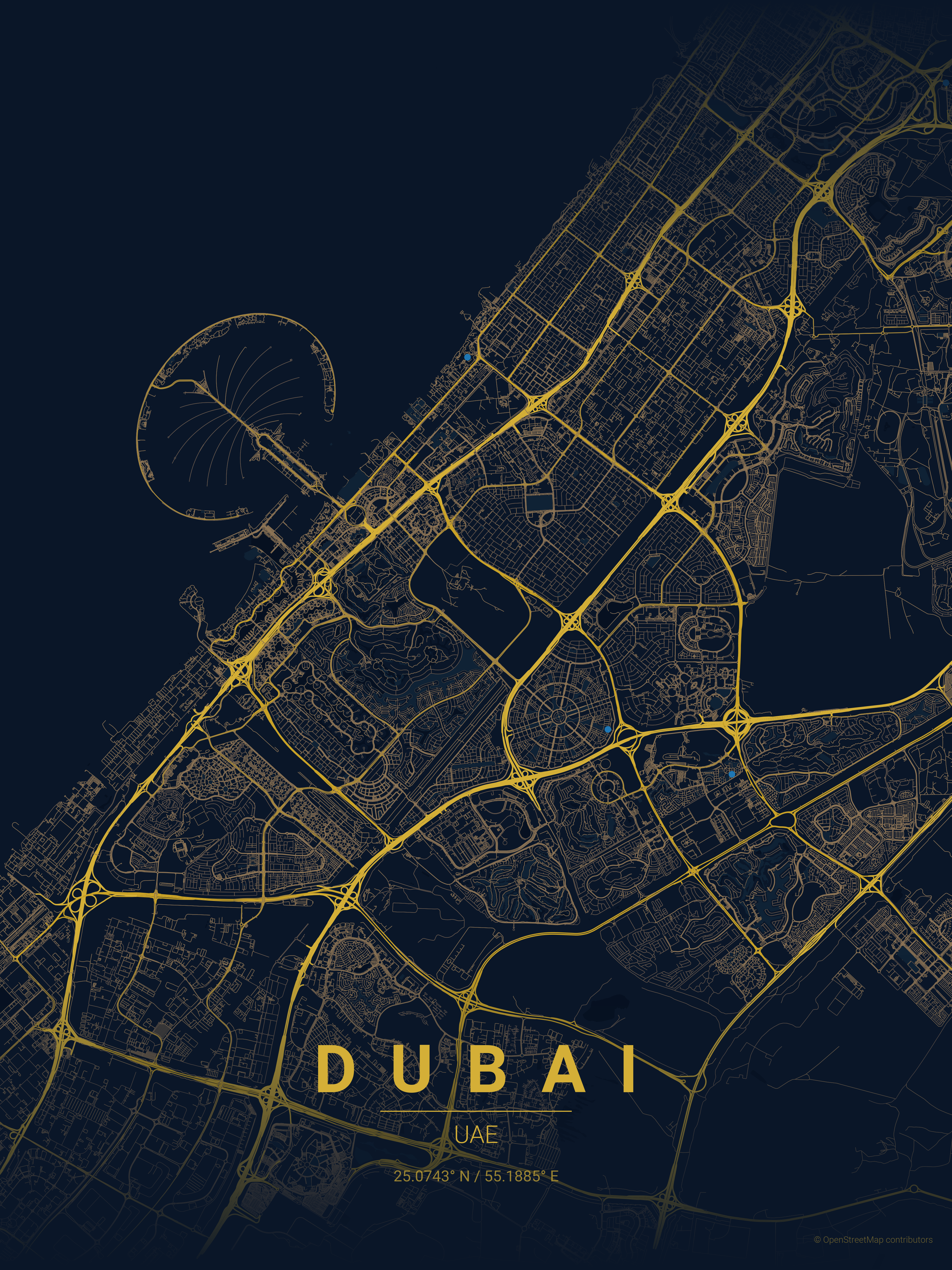
Examples
| Country |
City |
Theme |
Poster |
| USA |
San Francisco |
sunset |
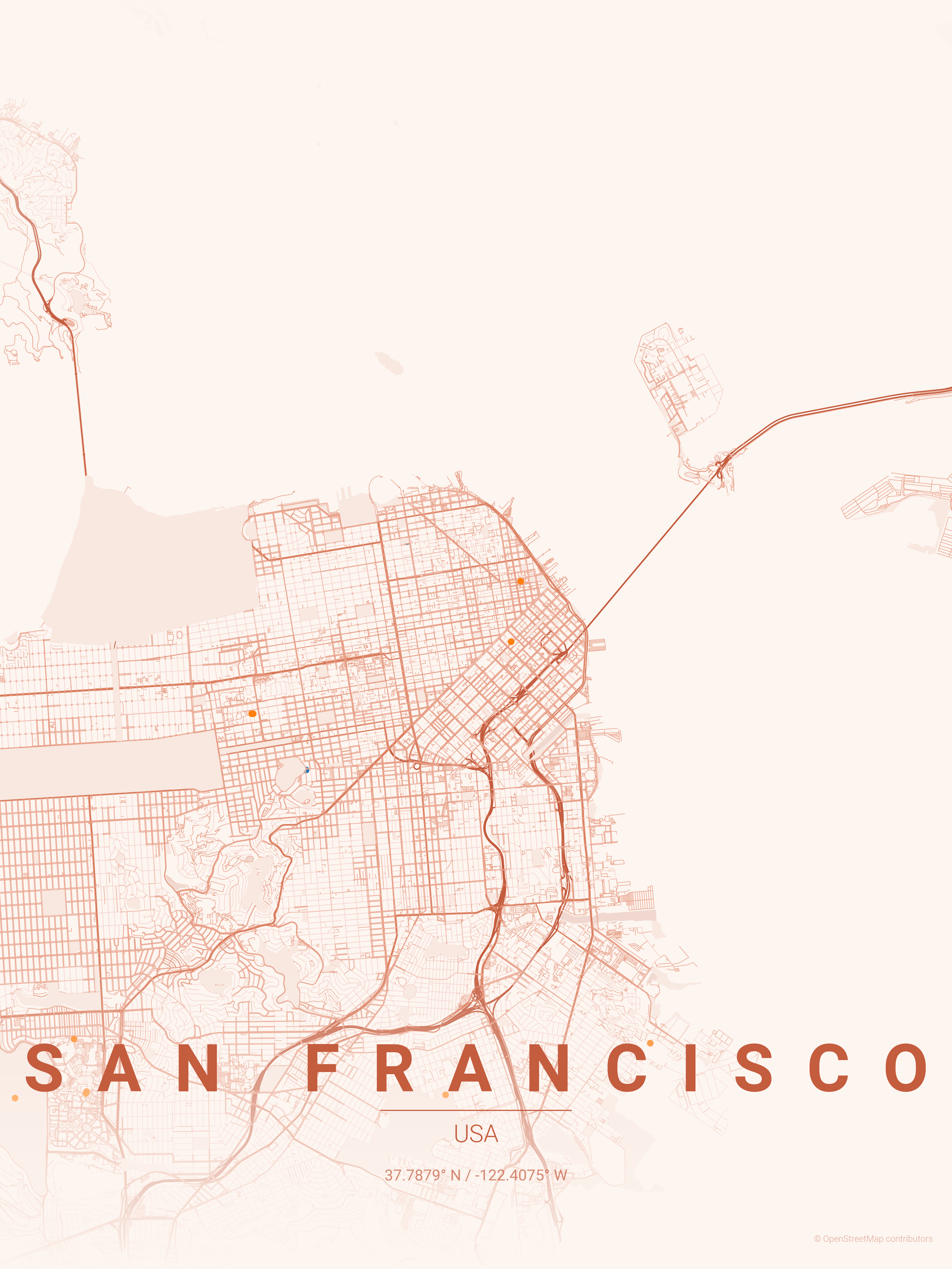 |
| Spain |
Barcelona |
warm_beige |
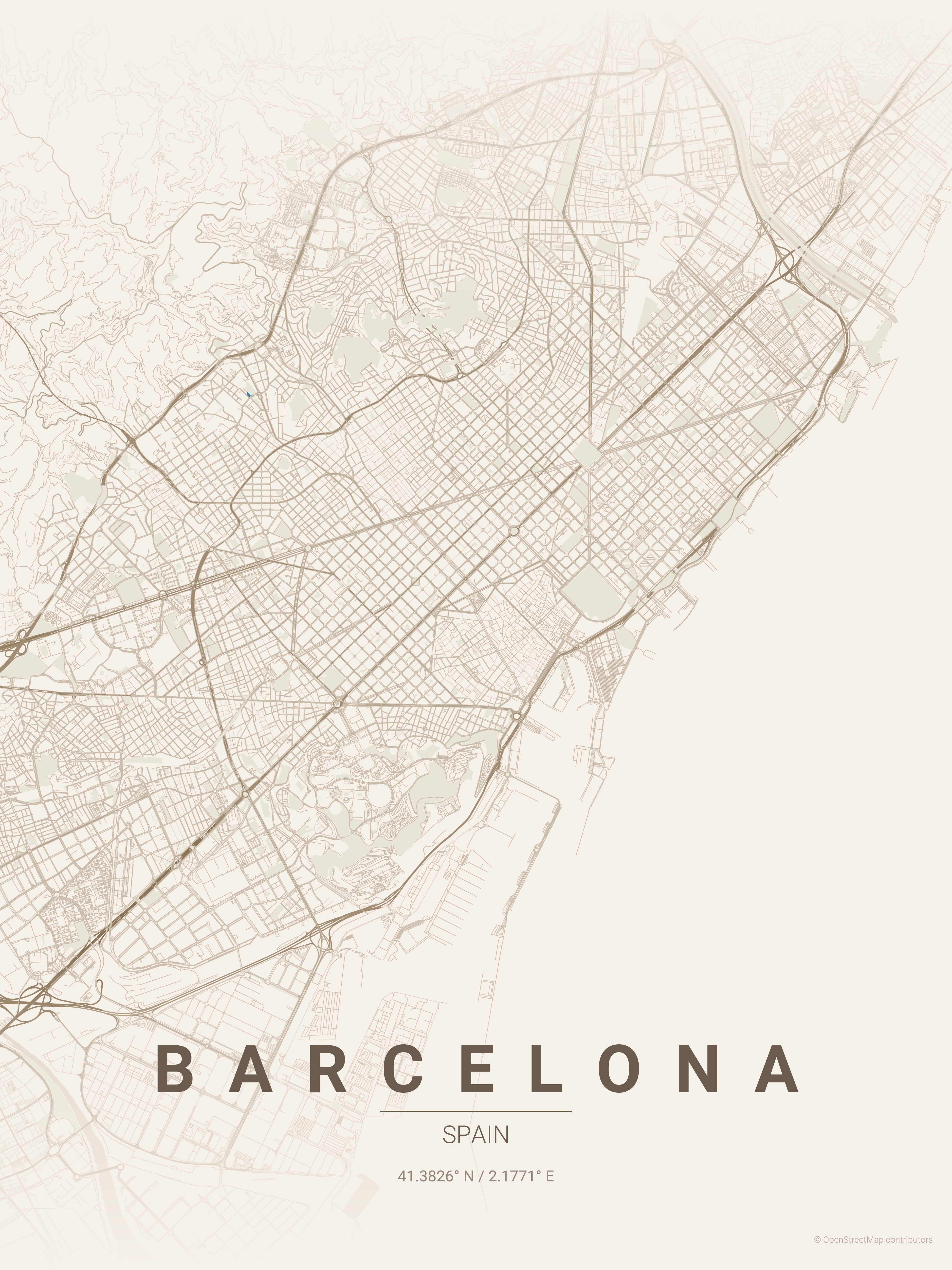 |
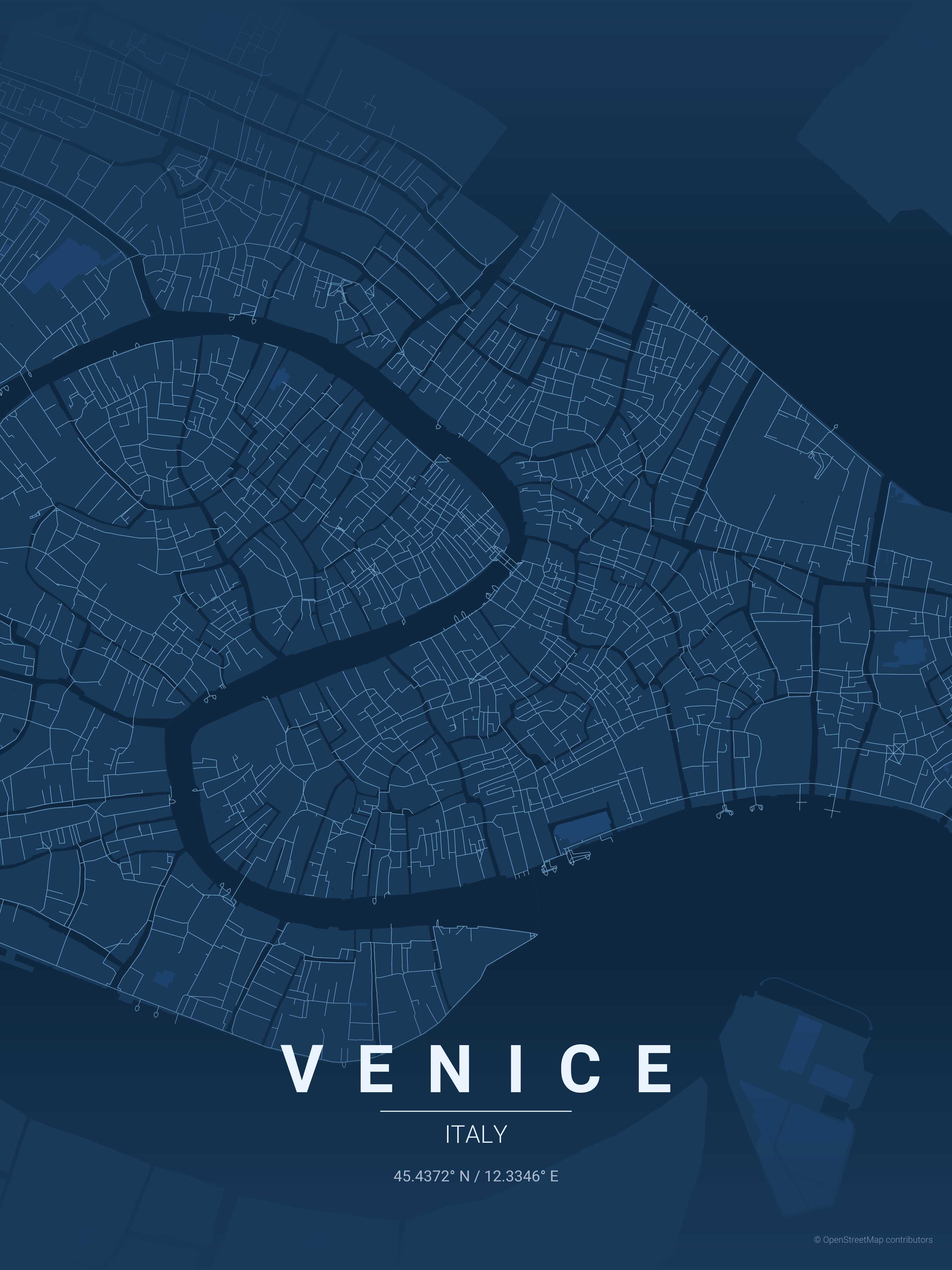
| Italy |
Venice |
blueprint |
 |
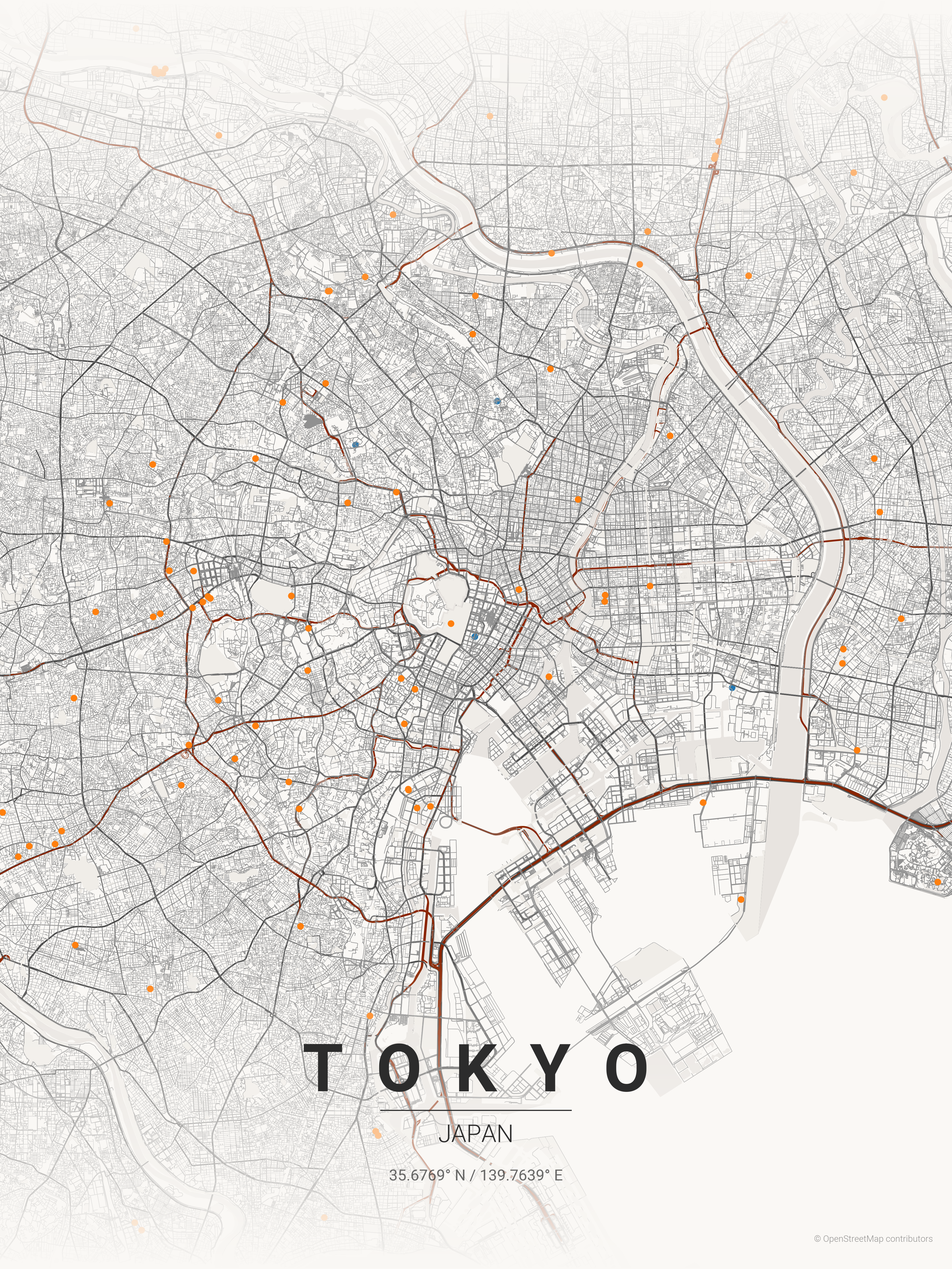
| Japan |
Tokyo |
japanese_ink |
 |
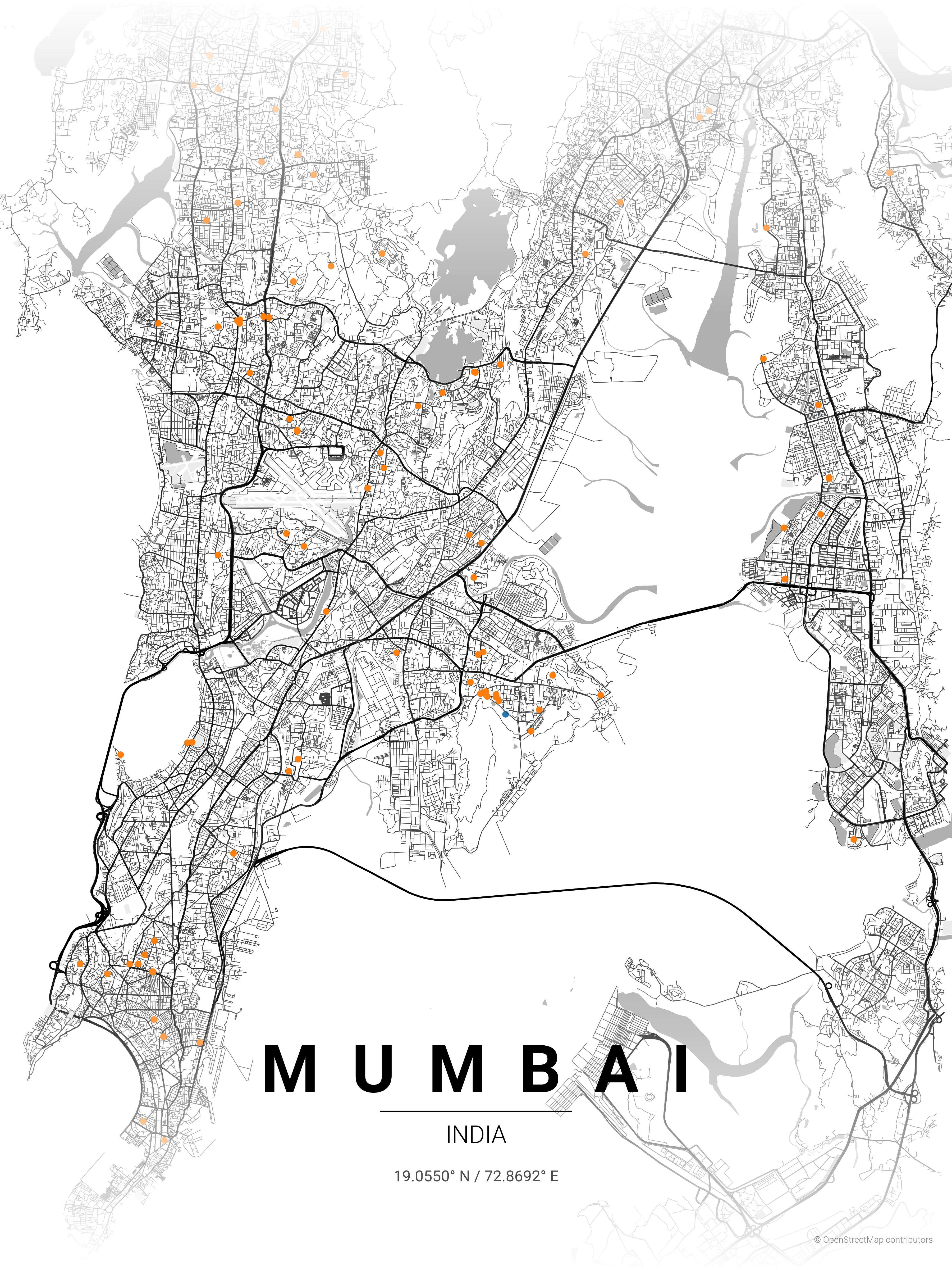
| India |
Mumbai |
contrast_zones |
 |
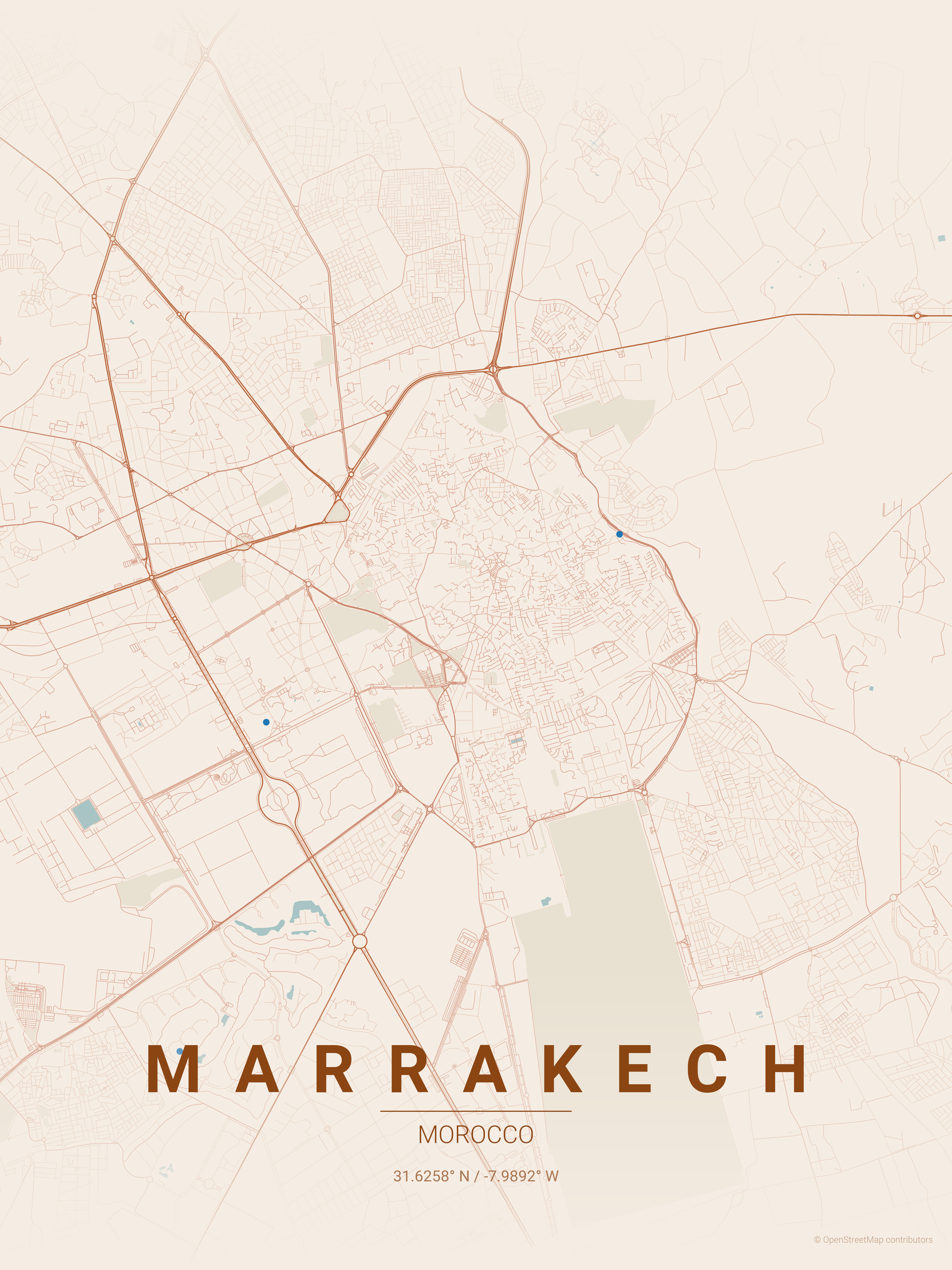
| Morocco |
Marrakech |
terracotta |
 |
| Singapore |
Singapore |
neon_cyberpunk |
|
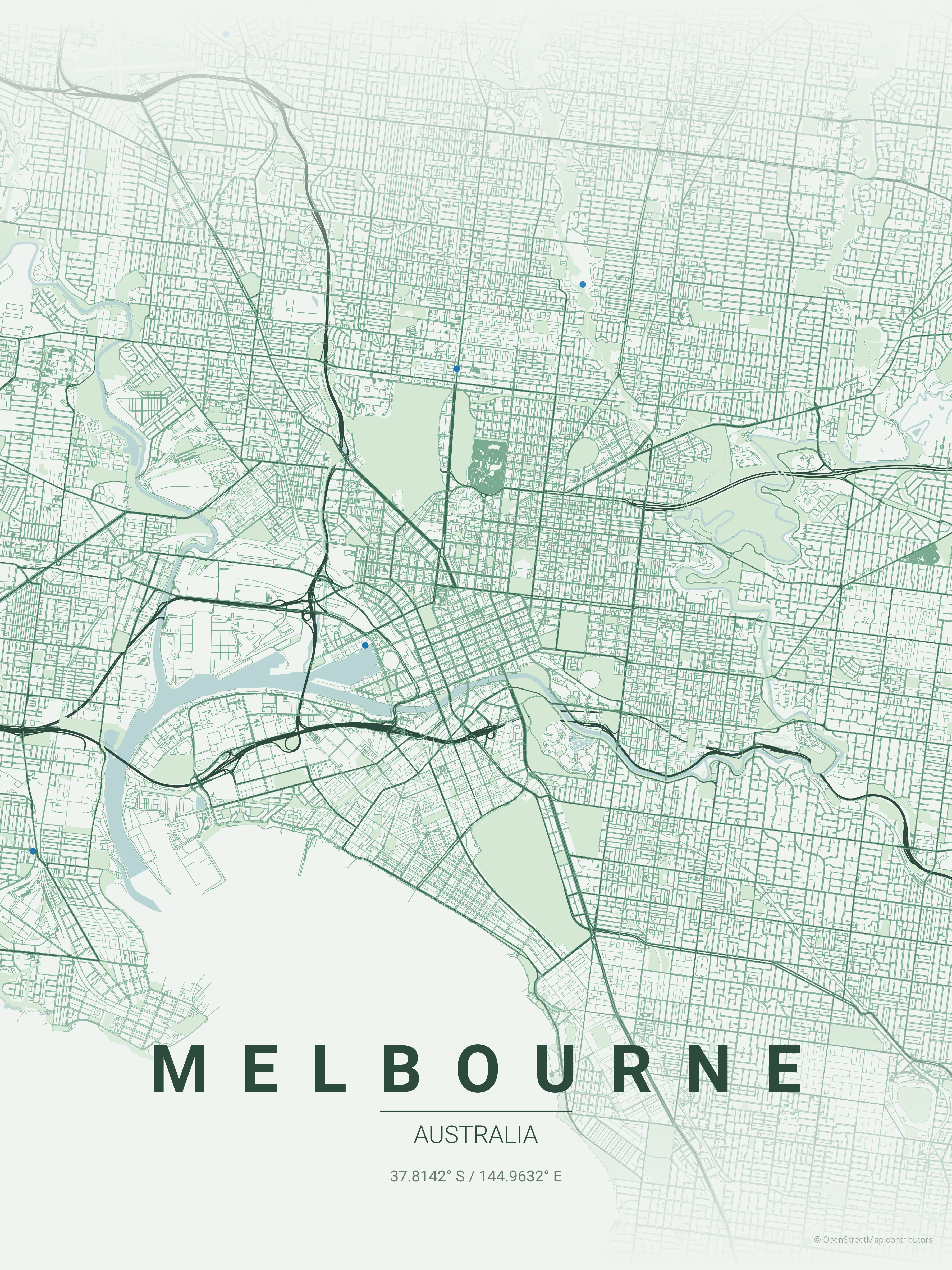
| Australia |
Melbourne |
forest |
 |
| UAE |
Dubai |
midnight_blue |
|
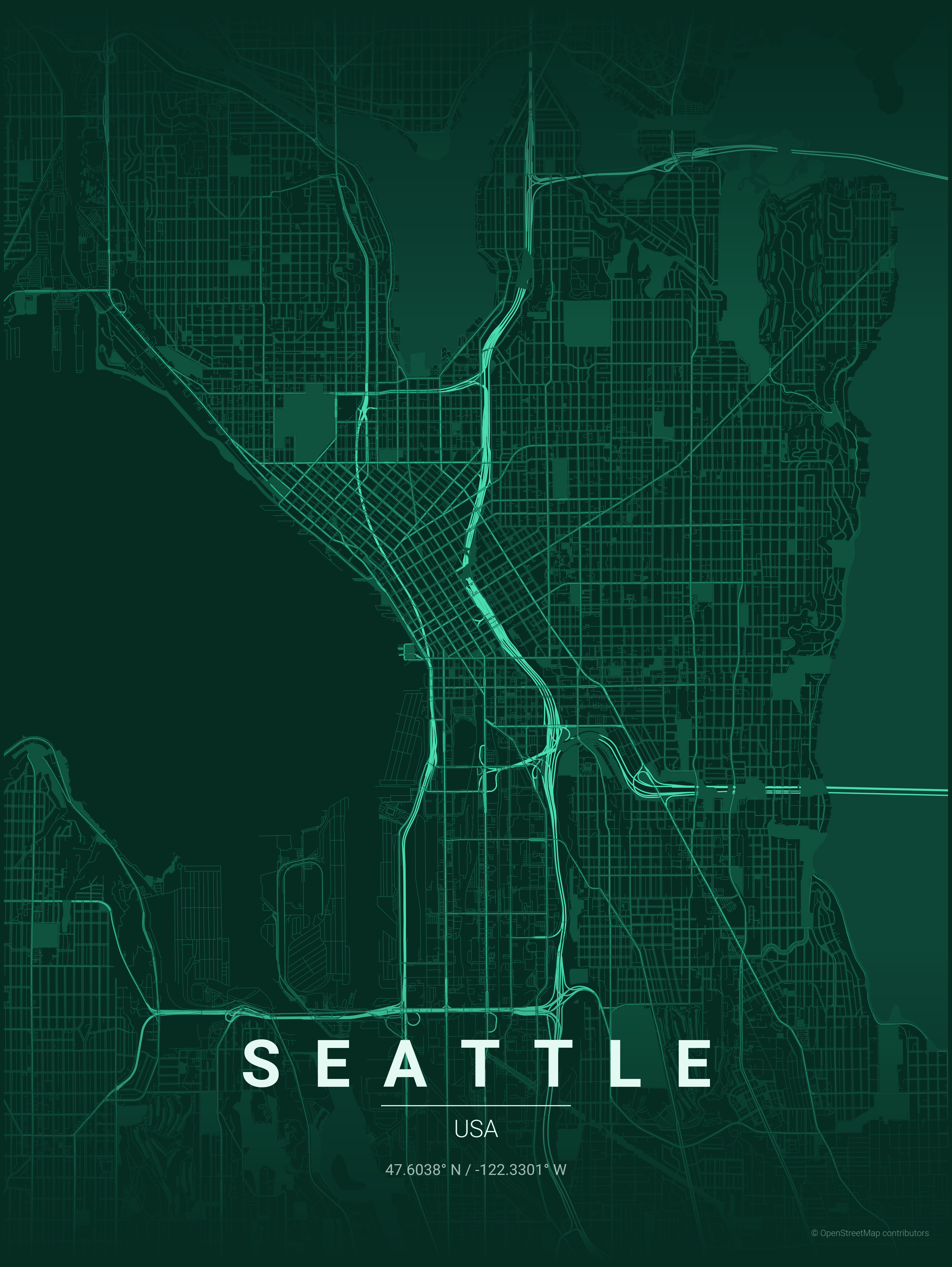
| USA |
Seattle |
emerald |
 |
Installation
With uv (Recommended)
Make sure uv is installed. Running the script by prepending uv run automatically creates and manages a virtual environment.
# First run will automatically install dependencies
uv run ./create_map_poster.py --city "Paris" --country "France"

# Or sync dependencies explicitly first (using locked versions)
uv sync --locked
uv run ./create_map_poster.py --city "Paris" --country "France"
With pip + venv
python -m venv .venv
source .venv/bin/activate  # On Windows: .venv\Scripts\activate
pip install -r requirements.txt
Usage
Generate Poster
If you're using uv:
uv run ./create_map_poster.py --city <city> --country <country> [options]
Otherwise (pip + venv):
python create_map_poster.py --city <city> --country <country> [options]
Required Options
| Option |
Short |
Description |
--city |
-c |
City name (used for geocoding) |
--country |
-C |
Country name (used for geocoding) |
Optional Flags
| Option |
Short |
Description |
Default |
OPTIONAL: --latitude |
-lat |
Override latitude center point (use with --longitude) |
|
OPTIONAL: --longitude |
-long |
Override longitude center point (use with --latitude) |
|
OPTIONAL: --country-label |
|
Override country text displayed on poster |
|
OPTIONAL: --theme |
-t |
Theme name |
terracotta |
OPTIONAL: --distance |
-d |
Map radius in meters |
18000 |
OPTIONAL: --list-themes |
|
List all available themes |
|
OPTIONAL: --all-themes |
|
Generate posters for all available themes |
|
OPTIONAL: --width |
-W |
Image width in inches |
12 (max: 20) |
OPTIONAL: --height |
-H |
Image height in inches |
16 (max: 20) |
Multilingual Support - i18n
Display city and country names in your language with custom fonts from google fonts:
| Option |
Short |
Description |
--display-city |
-dc |
Custom display name for city (e.g., "東京") |
--display-country |
-dC |
Custom display name for country (e.g., "日本") |
--font-family |
|
Google Fonts family name (e.g., "Noto Sans JP") |
Examples:
# Japanese
python create_map_poster.py -c "Tokyo" -C "Japan" -dc "東京" -dC "日本" --font-family "Noto Sans JP"

# Korean
python create_map_poster.py -c "Seoul" -C "South Korea" -dc "서울" -dC "대한민국" --font-family "Noto Sans KR"

# Arabic
python create_map_poster.py -c "Dubai" -C "UAE" -dc "دبي" -dC "الإمارات" --font-family "Cairo"
Note: Fonts are automatically downloaded from Google Fonts and cached locally in fonts/cache/.
Resolution Guide (300 DPI)
Use these values for -W and -H to target specific resolutions:
| Target |
Resolution (px) |
Inches (-W / -H) |
| Instagram Post |
1080 x 1080 |
3.6 x 3.6 |
| Mobile Wallpaper |
1080 x 1920 |
3.6 x 6.4 |
| HD Wallpaper |
1920 x 1080 |
6.4 x 3.6 |
| 4K Wallpaper |
3840 x 2160 |
12.8 x 7.2 |
| A4 Print |
2480 x 3508 |
8.3 x 11.7 |
Usage Examples
Basic Examples
# Simple usage with default theme
python create_map_poster.py -c "Paris" -C "France"

# With custom theme and distance
python create_map_poster.py -c "New York" -C "USA" -t noir -d 12000
Multilingual Examples (Non-Latin Scripts)
Display city names in their native scripts:
# Japanese
python create_map_poster.py -c "Tokyo" -C "Japan" -dc "東京" -dC "日本" --font-family "Noto Sans JP" -t japanese_ink

# Korean
python create_map_poster.py -c "Seoul" -C "South Korea" -dc "서울" -dC "대한민국" --font-family "Noto Sans KR" -t midnight_blue

# Thai
python create_map_poster.py -c "Bangkok" -C "Thailand" -dc "กรุงเทพมหานคร" -dC "ประเทศไทย" --font-family "Noto Sans Thai" -t sunset

# Arabic
python create_map_poster.py -c "Dubai" -C "UAE" -dc "دبي" -dC "الإمارات" --font-family "Cairo" -t terracotta

# Chinese (Simplified)
python create_map_poster.py -c "Beijing" -C "China" -dc "北京" -dC "中国" --font-family "Noto Sans SC"

# Khmer
python create_map_poster.py -c "Phnom Penh" -C "Cambodia" -dc "ភ្នំពេញ" -dC "កម្ពុជា" --font-family "Noto Sans Khmer"
Advanced Examples
# Iconic grid patterns
python create_map_poster.py -c "New York" -C "USA" -t noir -d 12000           # Manhattan grid
python create_map_poster.py -c "Barcelona" -C "Spain" -t warm_beige -d 8000   # Eixample district

# Waterfront & canals
python create_map_poster.py -c "Venice" -C "Italy" -t blueprint -d 4000       # Canal network
python create_map_poster.py -c "Amsterdam" -C "Netherlands" -t ocean -d 6000  # Concentric canals
python create_map_poster.py -c "Dubai" -C "UAE" -t midnight_blue -d 15000     # Palm & coastline

# Radial patterns
python create_map_poster.py -c "Paris" -C "France" -t pastel_dream -d 10000   # Haussmann boulevards
python create_map_poster.py -c "Moscow" -C "Russia" -t noir -d 12000          # Ring roads

# Organic old cities
python create_map_poster.py -c "Tokyo" -C "Japan" -t japanese_ink -d 15000    # Dense organic streets
python create_map_poster.py -c "Marrakech" -C "Morocco" -t terracotta -d 5000 # Medina maze
python create_map_poster.py -c "Rome" -C "Italy" -t warm_beige -d 8000        # Ancient layout

# Coastal cities
python create_map_poster.py -c "San Francisco" -C "USA" -t sunset -d 10000    # Peninsula grid
python create_map_poster.py -c "Sydney" -C "Australia" -t ocean -d 12000      # Harbor city
python create_map_poster.py -c "Mumbai" -C "India" -t contrast_zones -d 18000 # Coastal peninsula

# River cities
python create_map_poster.py -c "London" -C "UK" -t noir -d 15000              # Thames curves
python create_map_poster.py -c "Budapest" -C "Hungary" -t copper_patina -d 8000  # Danube split

# Override center coordinates
python create_map_poster.py --city "New York" --country "USA" -lat 40.776676 -long -73.971321 -t noir

# List available themes
python create_map_poster.py --list-themes

# Generate posters for every theme
python create_map_poster.py -c "Tokyo" -C "Japan" --all-themes
Distance Guide
| Distance |
Best for |
| 4000-6000m |
Small/dense cities (Venice, Amsterdam center) |
| 8000-12000m |
Medium cities, focused downtown (Paris, Barcelona) |
| 15000-20000m |
Large metros, full city view (Tokyo, Mumbai) |
Themes
17 themes available in themes/ directory:
| Theme |
Style |
gradient_roads |
Smooth gradient shading |
contrast_zones |
High contrast urban density |
noir |
Pure black background, white roads |
midnight_blue |
Navy background with gold roads |
blueprint |
Architectural blueprint aesthetic |
neon_cyberpunk |
Dark with electric pink/cyan |
warm_beige |
Vintage sepia tones |
pastel_dream |
Soft muted pastels |
japanese_ink |
Minimalist ink wash style |
emerald |
Lush dark green aesthetic |
forest |
Deep greens and sage |
ocean |
Blues and teals for coastal cities |
terracotta |
Mediterranean warmth |
sunset |
Warm oranges and pinks |
autumn |
Seasonal burnt oranges and reds |
copper_patina |
Oxidized copper aesthetic |
monochrome_blue |
Single blue color family |
Output
Posters are saved to posters/ directory with format:
{city}_{theme}_{YYYYMMDD_HHMMSS}.png
Adding Custom Themes
Create a JSON file in themes/ directory:
{
  "name": "My Theme",
  "description": "Description of the theme",
  "bg": "#FFFFFF",
  "text": "#000000",
  "gradient_color": "#FFFFFF",
  "water": "#C0C0C0",
  "parks": "#F0F0F0",
  "road_motorway": "#0A0A0A",
  "road_primary": "#1A1A1A",
  "road_secondary": "#2A2A2A",
  "road_tertiary": "#3A3A3A",
  "road_residential": "#4A4A4A",
  "road_default": "#3A3A3A"
}
Project Structure
map_poster/
├── create_map_poster.py    # Main script
├── font_management.py      # Font loading and Google Fonts integration
├── themes/                 # Theme JSON files
├── fonts/                  # Font files
│   ├── Roboto-*.ttf        # Default Roboto fonts
│   └── cache/              # Downloaded Google Fonts (auto-generated)
├── posters/                # Generated posters
└── README.md
Hacker's Guide
Quick reference for contributors who want to extend or modify the script.
Contributors Guide
- Bug fixes are welcomed
- Don't submit user interface (web/desktop)
- Don't Dockerize for now
- If you vibe code any fix please test it and see before and after version of poster
- Before embarking on a big feature please ask in Discussions/Issue if it will be merged
Architecture Overview
┌─────────────────┐     ┌──────────────┐     ┌─────────────────┐
│   CLI Parser    │────▶│  Geocoding   │────▶│  Data Fetching  │
│   (argparse)    │     │  (Nominatim) │     │    (OSMnx)      │
└─────────────────┘     └──────────────┘     └─────────────────┘
                                                     │
                        ┌──────────────┐             ▼
                        │    Output    │◀────┌─────────────────┐
                        │  (matplotlib)│     │   Rendering     │
                        └──────────────┘     │  (matplotlib)   │
                                             └─────────────────┘
Key Functions
| Function |
Purpose |
Modify when... |
get_coordinates() |
City → lat/lon via Nominatim |
Switching geocoding provider |
create_poster() |
Main rendering pipeline |
Adding new map layers |
get_edge_colors_by_type() |
Road color by OSM highway tag |
Changing road styling |
get_edge_widths_by_type() |
Road width by importance |
Adjusting line weights |
create_gradient_fade() |
Top/bottom fade effect |
Modifying gradient overlay |
load_theme() |
JSON theme → dict |
Adding new theme properties |
is_latin_script() |
Detects script for typography |
Supporting new scripts |
load_fonts() |
Load custom/default fonts |
Changing font loading logic |
Rendering Layers (z-order)
z=11  Text labels (city, country, coords)
z=10  Gradient fades (top & bottom)
z=3   Roads (via ox.plot_graph)
z=2   Parks (green polygons)
z=1   Water (blue polygons)
z=0   Background color
OSM Highway Types → Road Hierarchy
# In get_edge_colors_by_type() and get_edge_widths_by_type()
motorway, motorway_link     → Thickest (1.2), darkest
trunk, primary              → Thick (1.0)
secondary                   → Medium (0.8)
tertiary                    → Thin (0.6)
residential, living_street  → Thinnest (0.4), lightest
Typography & Script Detection
The script automatically detects text scripts to apply appropriate typography:
- Latin scripts (English, French, Spanish, etc.): Letter spacing applied for elegant "P A R I S" effect
- Non-Latin scripts (Japanese, Arabic, Thai, Korean, etc.): Natural spacing for "東京" (no gaps between characters)
Script detection uses Unicode ranges (U+0000-U+024F for Latin). If >80% of alphabetic characters are Latin, spacing is applied.
Adding New Features
New map layer (e.g., railways):
# In create_poster(), after parks fetch:
try:
    railways = ox.features_from_point(point, tags={'railway': 'rail'}, dist=dist)
except:
    railways = None

# Then plot before roads:
if railways is not None and not railways.empty:
    railways = railways.to_crs(g_proj.graph["crs"])
    railways.plot(ax=ax, color=THEME['railway'], linewidth=0.5, zorder=2.5)
New theme property:
- Add to theme JSON:
"railway": "#FF0000"
- Use in code:
THEME['railway']
- Add fallback in
load_theme() default dict
Typography Positioning
All text uses transform=ax.transAxes (0-1 normalized coordinates):
y=0.14  City name (spaced letters for Latin scripts)
y=0.125 Decorative line
y=0.10  Country name
y=0.07  Coordinates
y=0.02  Attribution (bottom-right)
Useful OSMnx Patterns
# Get all buildings
buildings = ox.features_from_point(point, tags={'building': True}, dist=dist)

# Get specific amenities
cafes = ox.features_from_point(point, tags={'amenity': 'cafe'}, dist=dist)

# Different network types
G = ox.graph_from_point(point, dist=dist, network_type='drive')  # roads only
G = ox.graph_from_point(point, dist=dist, network_type='bike')   # bike paths
G = ox.graph_from_point(point, dist=dist, network_type='walk')   # pedestrian
- Large
dist values (>20km) = slow downloads + memory heavy
- Cache coordinates locally to avoid Nominatim rate limits
- Use
network_type='drive' instead of 'all' for faster renders
- Reduce
dpi from 300 to 150 for quick previews

 MapToPoster 是一个 Python 脚本,可以为世界上任何城市生成精美的极简地图海报。它使用 OpenStreetMap 数据绘制街道网络,并生成带有主题、可直接打印的艺术作品。