GeoLibre

















A free and open-source, lightweight, cloud-native GIS platform for visualizing, exploring, and analyzing geospatial data. It runs everywhere you do, in the web browser, on the desktop, on mobile, and inside Jupyter notebooks, all while keeping your data local and private.
It also ships 1,000+ geoprocessing tools that run entirely in your browser on WebAssembly — terrain, hydrology, LiDAR, remote sensing, and vector analysis with no server, no install, and no data ever leaving your machine.
GeoLibre is built with Tauri v2, React, TypeScript, MapLibre GL JS, DuckDB-WASM Spatial, and deck.gl. The same workspace runs as a native desktop app, native Android and iOS apps, in any modern web browser, and adapts responsively to mobile and small screens.
- Launch GeoLibre Web — the full app in your browser, nothing to install
- Download the desktop app — Windows, macOS, and Linux installers
- Get it on the Mac App Store — the sandboxed macOS build
- Get it on the App Store — the native iOS app for iPhone and iPad
- Get it on Google Play — the native Android app
- Get the Chrome extension — open datasets you find on any webpage in GeoLibre
- Use the Python package — embed and control the full app in Jupyter notebooks
- Use the R package — build interactive maps in RStudio, Quarto, R Markdown, and Shiny
- 1,000+ geoprocessing tools — the full toolbox, in the browser
- Get started — install, run from source, and configure
- Features — the complete feature list
Demos
Click any screenshot to open it at full resolution, or any animation to play the full-quality video.
3D Tiles
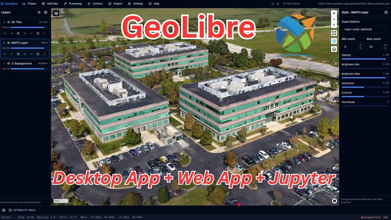
Open the live project
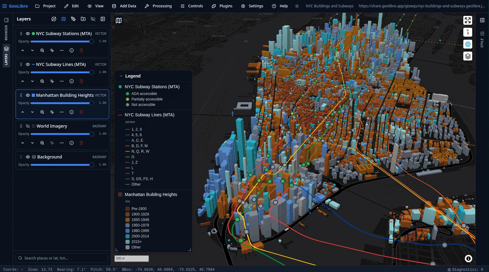
NYC buildings and subways
Manhattan building footprints extruded in 3D and colored by construction era, with the MTA subway lines and stations on top and a legend generated automatically from the layers' symbology.
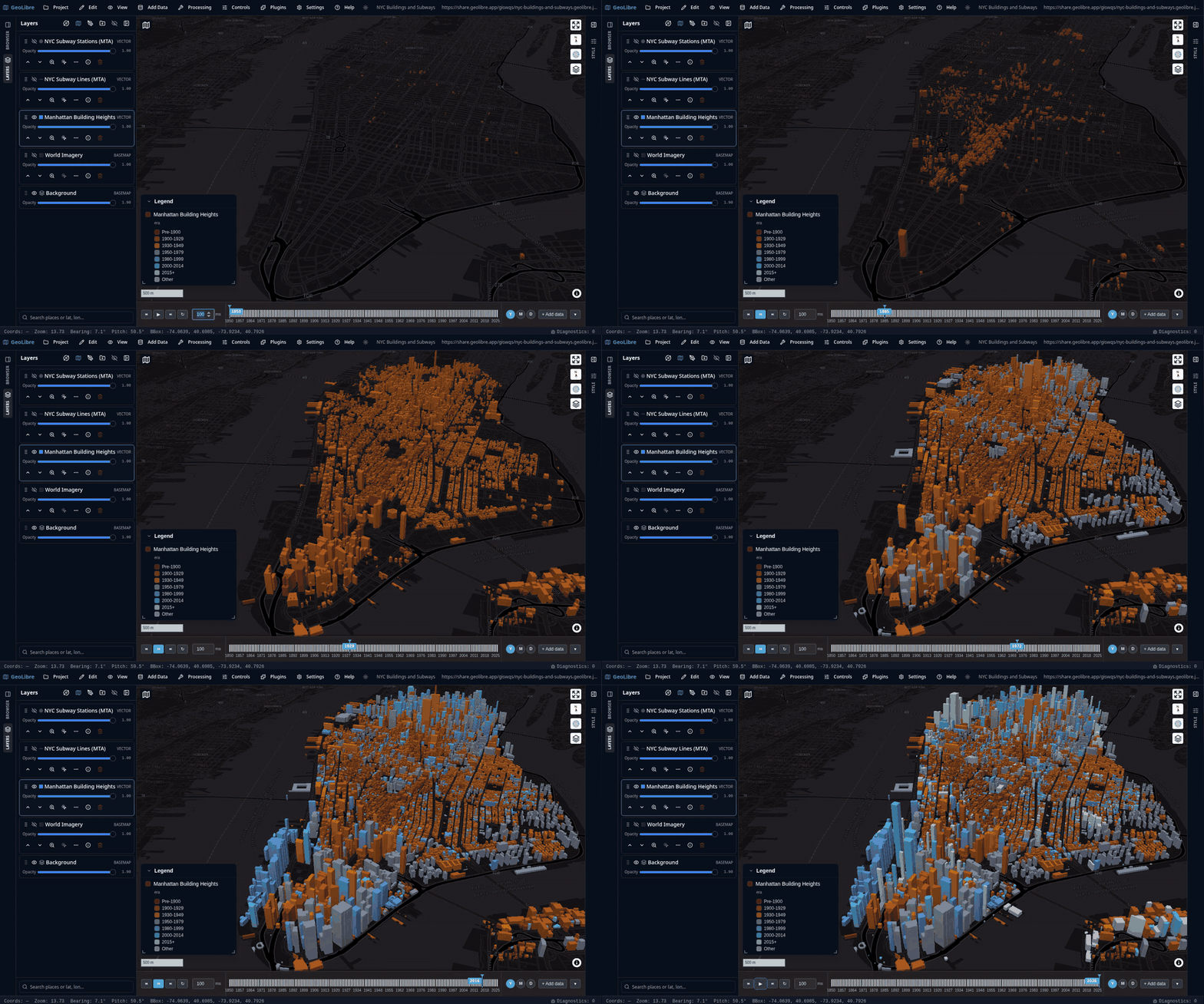
The animation below runs the Time Slider along the buildings' construction year, from 1850 to 2025, so Manhattan fills in era by era. Click it to play the full-quality video.
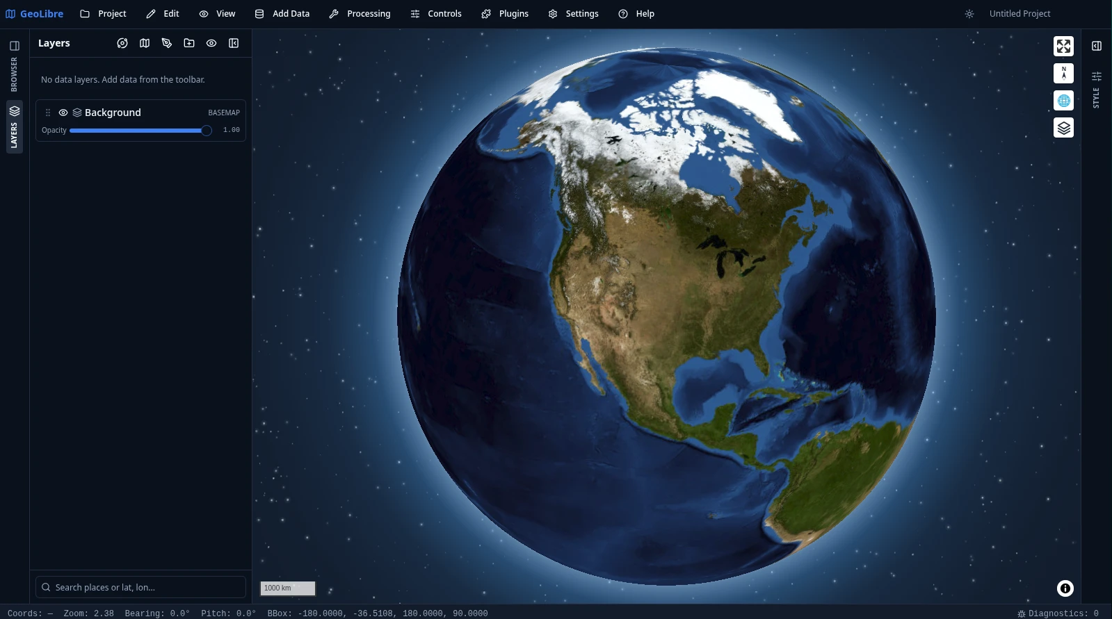
Open the live project
Planetary basemaps
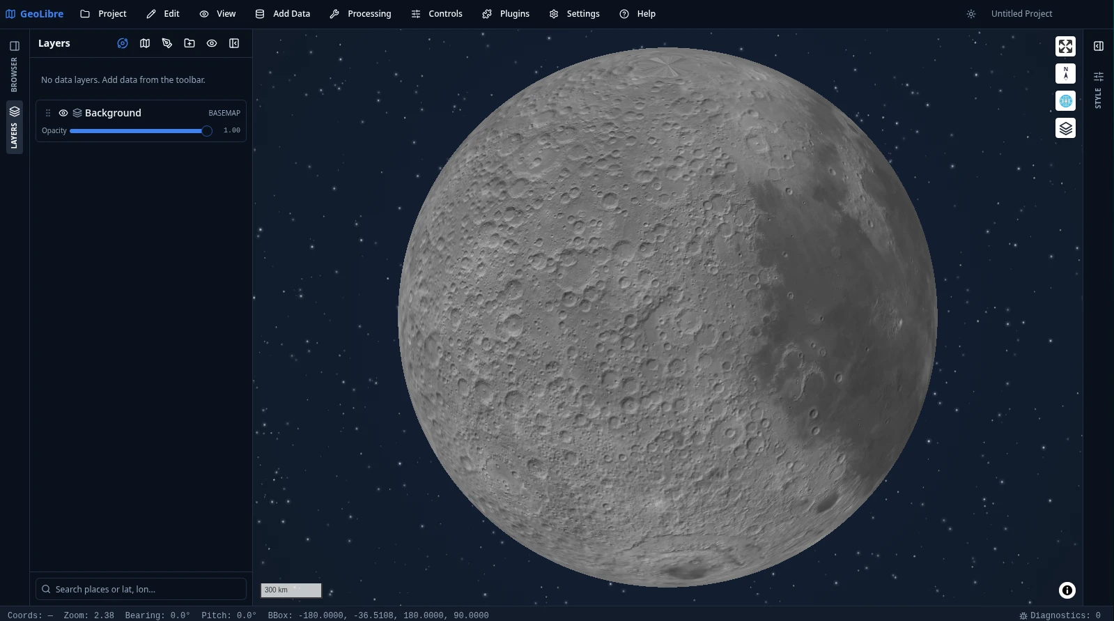
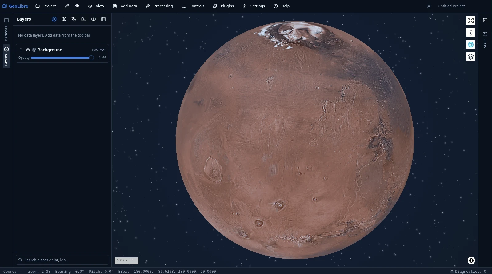
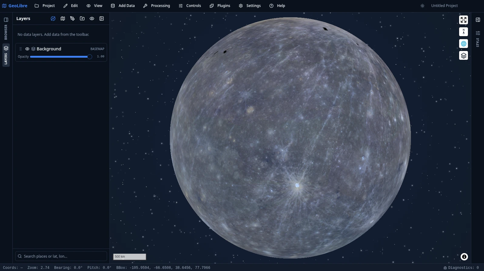
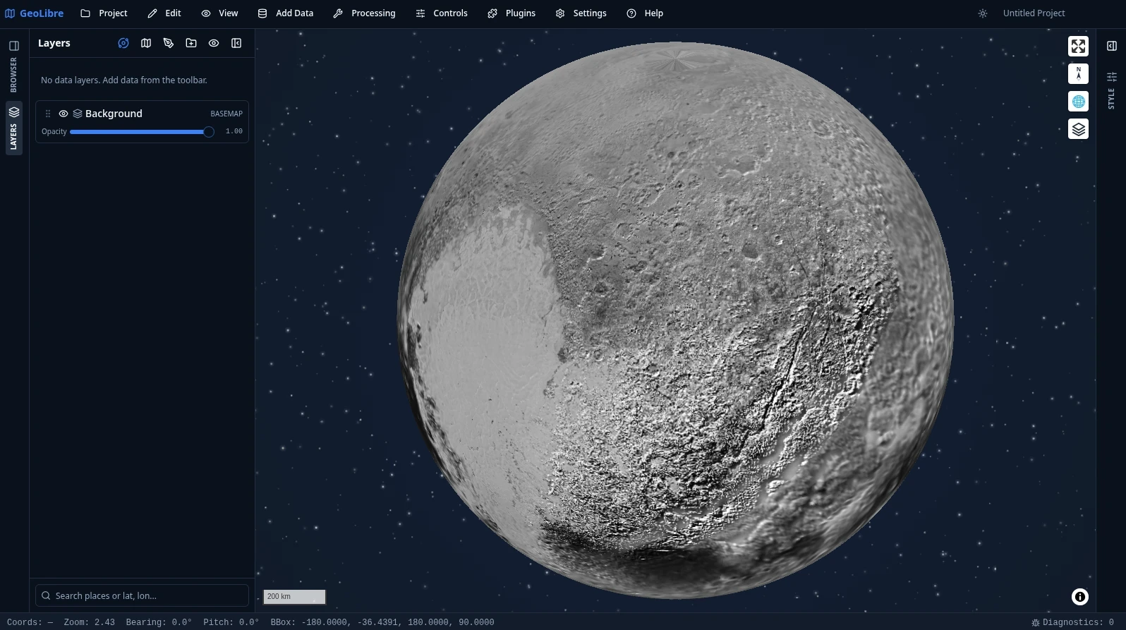
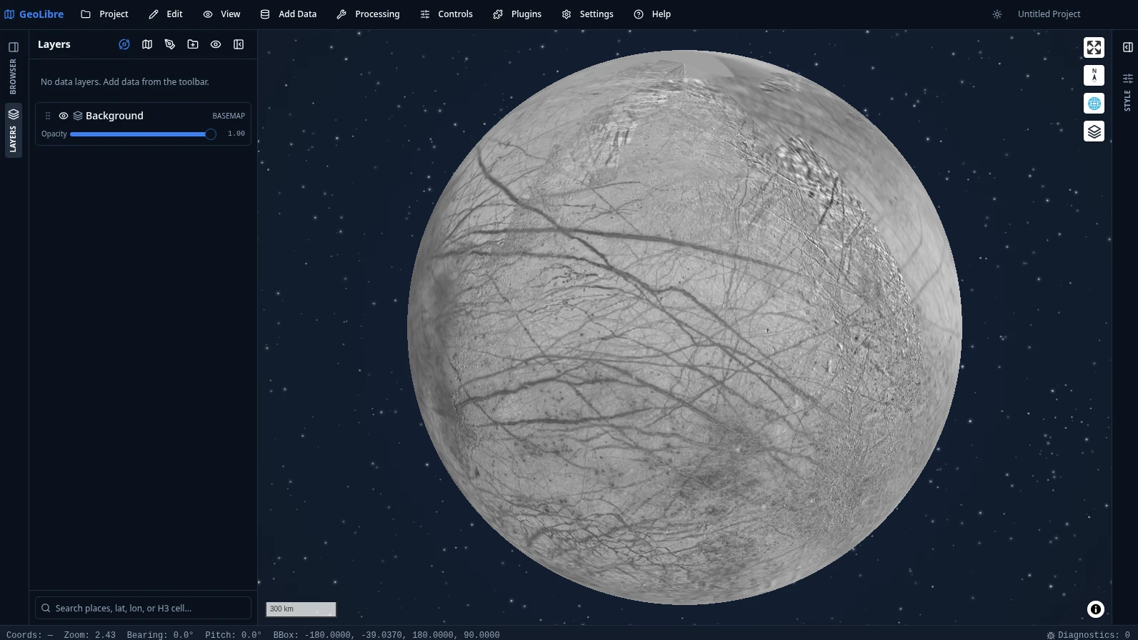
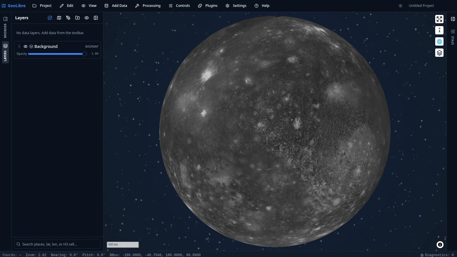
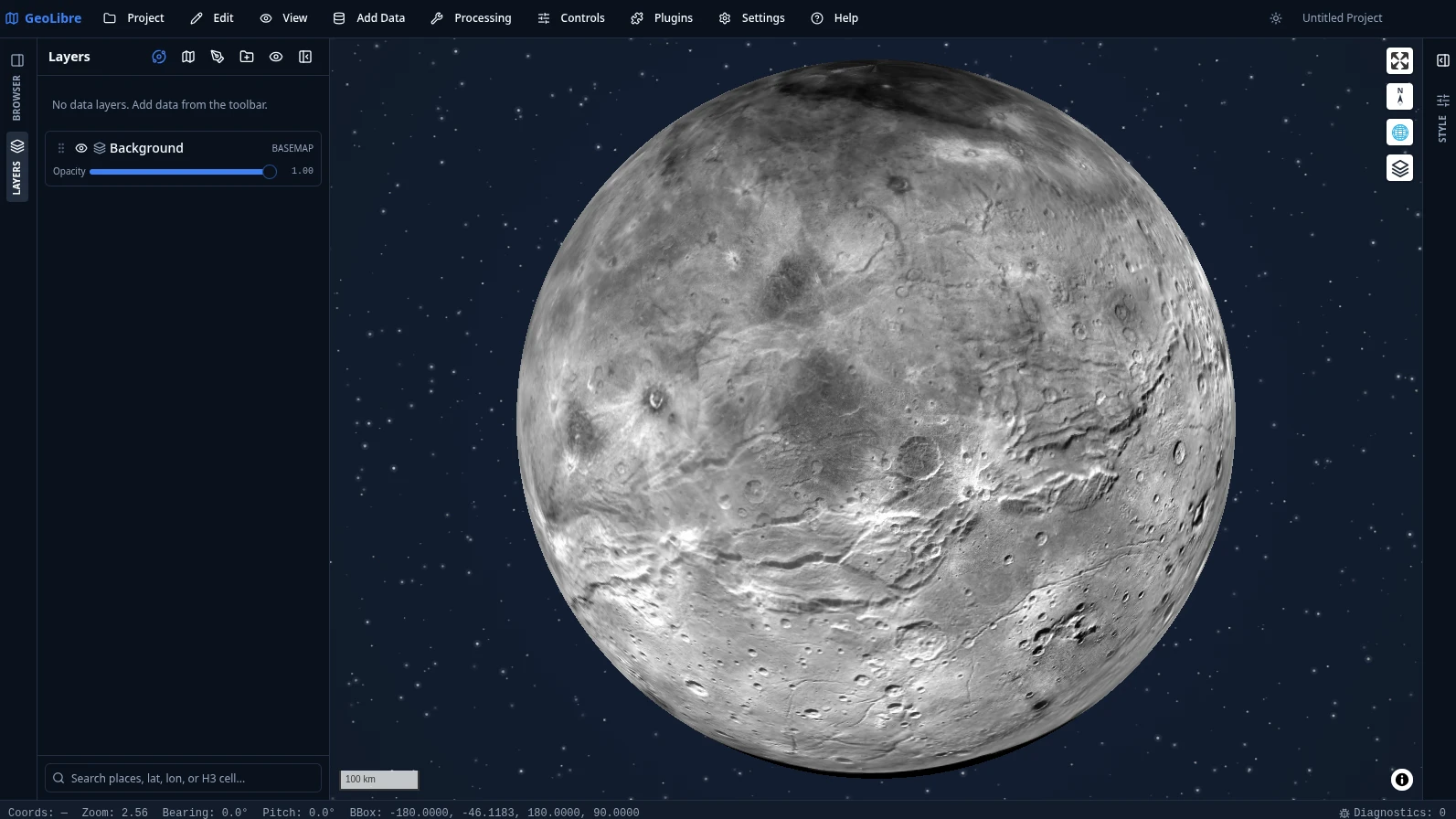
GeoLibre is not limited to Earth. Planetary basemaps from OpenPlanetaryMap and USGS Astrogeology cover the Moon, Mars, Mercury, Venus, the Galilean moons (Io, Europa, Ganymede, Callisto), Titan, Pluto, and Charon, with a per-project ellipsoid so distance, area, and scale measurements match the body you are mapping. The deep-space starfield behind each globe comes from the Atmosphere Effects plugin.
 |
 |
 |
| Earth |
Moon |
Mars |
 |
 |
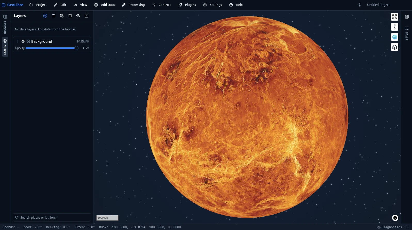 |
| Mercury |
Pluto |
Venus |
 |
 |
 |
| Europa |
Callisto |
Charon |
Switch bodies from the planet switcher in the Layers panel. See Demos for more.
Video tutorials
All of them, with chapters and summaries, are on the Video Tutorials page.
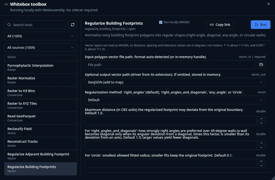
Processing → Whitebox Toolbox opens a toolbox of 1,000+ geoprocessing tools that
execute in the browser through a WebAssembly runtime with native raster and
vector I/O. There is no Python sidecar to install and no server to call — the
tools, your data, and the results all stay on your machine, so the full toolbox
is available on GeoLibre Web, on the desktop app,
and on Android alike.
The tools come from the Whitebox Next Gen
suite plus GeoLibre's own WASM tools, and are browsable by category straight from
the Processing menu:
| Category |
Tools |
Examples |
| Vector |
313 |
overlays, buffers, joins, cleaning, topology, generalization |
| Raster |
256 |
algebra, filters, reclassification, zonal and focal statistics |
| Remote sensing |
154 |
spectral indices, band math, classification, change detection |
| Hydrology |
100 |
flow accumulation, watersheds, stream networks, depression filling |
| Terrain |
99 |
slope, aspect, hillshade, curvature, ruggedness, viewsheds |
| LiDAR |
65 |
point-cloud filtering, ground classification, DEM/DSM generation |
| Conversion |
49 |
format translation to cloud-native GeoParquet, PMTiles, and COG |
| Network |
26 |
connectivity, cost distance, and routing analysis |
| Projection |
4 |
reprojection for raster and vector data |
Any tool is deep-linkable with a ?tool= URL parameter that preselects it and
pre-fills its form. See the Processing Tools guide
for details, and Geoprocessing in the Browser for
a video walkthrough.
Documentation
Full documentation, including the User Guide and Tutorials, is published at
geolibre.app.
- Getting Started - use GeoLibre on the web, desktop, Android, iOS, or in Jupyter; run it from source; run it with Docker; and configure optional credentials.
- Features - the complete, feature-by-feature list of what GeoLibre can do today.
- Demos - a visual tour: 3D Tiles, 3D city data, planetary basemaps, the SQL Workspace, and embeds.
- Downloads - installers and package managers for Windows, macOS, and Linux.
- User Guide - a feature-by-feature reference for the interface, adding data, layers, styling, the attribute table, map controls, processing, the SQL Workspace, data integrations, plugins, settings, and embedding.
- Tutorials - hands-on, end-to-end workflows: your first map, cloud-native data, vector analysis, terrain analysis, spatial SQL, and sharing and embedding.
- Reference
Contributions are welcome. See the Contributing guide
for the development setup, repository layout, and quality gate.
GeoLibre is free and open source, and stays that way. If it is useful to you or your team, sponsorship is the most direct way to keep development, hosting, and cross-platform distribution going.
See the Become a Sponsor page for what sponsorship supports and for other, free ways to help.
Acknowledgements
GeoLibre is built on the free and open-source geospatial and web communities — including MapLibre GL JS, deck.gl, DuckDB-WASM Spatial, Turf.js, Tauri, React, and many more. See the full Acknowledgements page for the complete list of projects and community contributors.
- The Atmosphere Effects plugin (deep-space backdrop, parallax starfield, comets, and the globe atmosphere halo) adapts the technique and visual design from Leonel Dias's article Globe atmosphere, halo, and comets — the layered Canvas 2D approach, the halo gradient and "screen" blend, the limb-sampling that keeps the halo aligned under pitch, and the starfield/comet parameters.
- Community contributors — thanks to Ryanphoenix for many valued contributions, including issue reports, feedback, and improvements.
- Beta testers — thanks to René van der Velde (Netherlands) for early testing, detailed bug reports, and feature requests.
Citation
If you use GeoLibre in your work, please cite it. GeoLibre is archived on Zenodo, which mints a DOI for every release. The concept DOI below always resolves to the latest version.
Wu, Q. (2026). GeoLibre: A lightweight, cloud-native GIS platform for visualizing, exploring, and analyzing geospatial data. Zenodo. https://doi.org/10.5281/zenodo.20785400
You can also use GitHub's "Cite this repository" button (which reads CITATION.cff) to copy a ready-made APA or BibTeX entry. See the How to Cite page for more formats.
License
MIT

 GeoLibre 是一个免费、开源、云原生的 GIS 平台,用于可视化、探索和分析地理空间数据,可在浏览器、桌面、移动设备以及 Jupyter 笔记本中运行。