
















What is this?
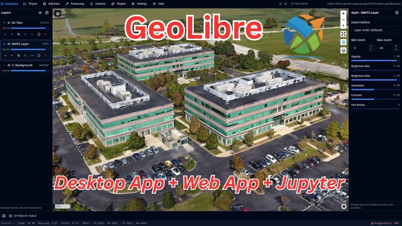
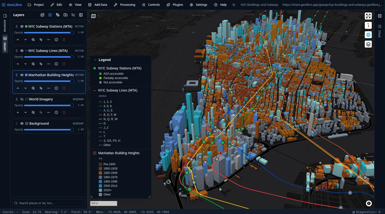
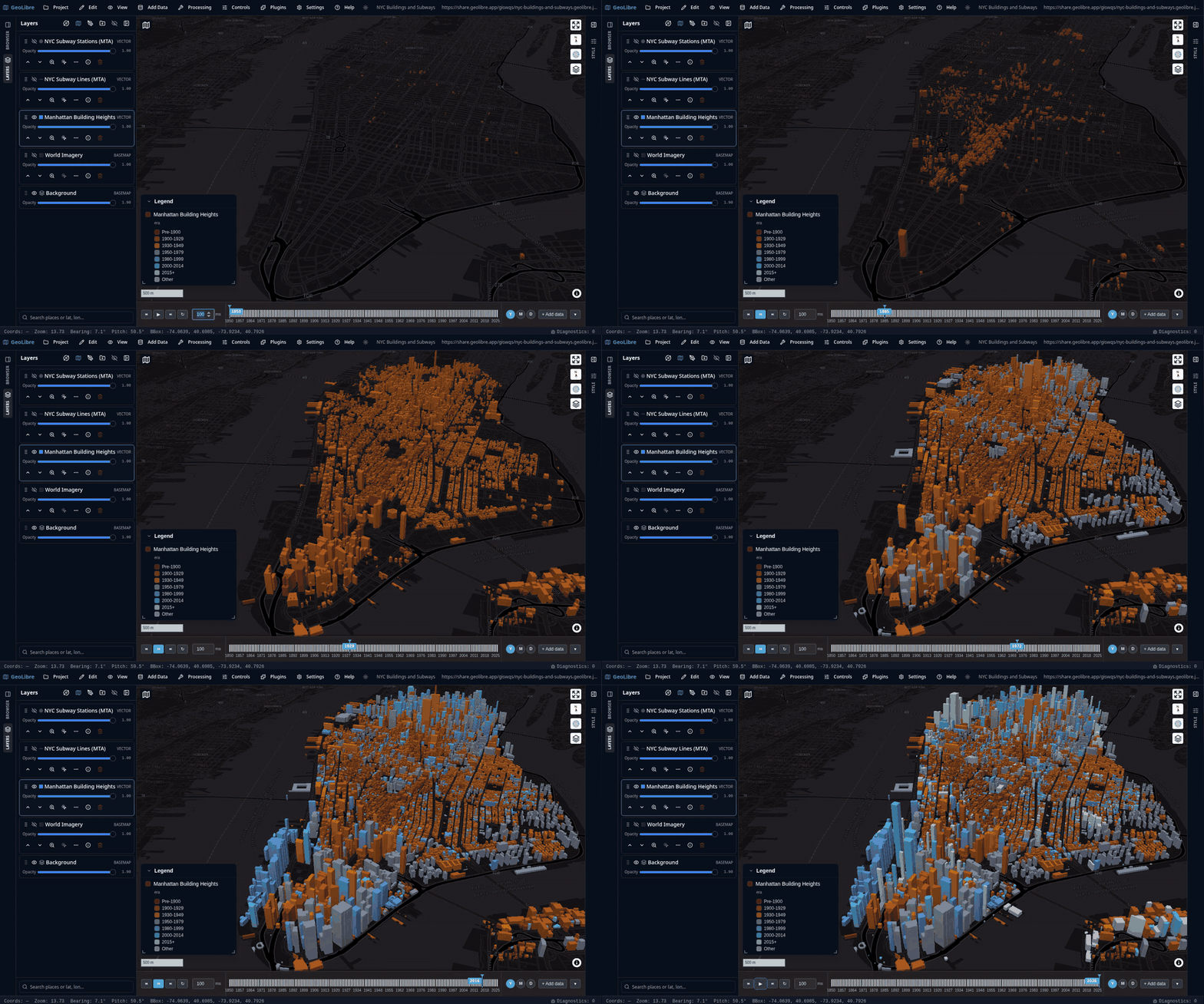
 GeoLibre is a free, open-source, cloud-native GIS platform for visualizing, exploring, and analyzing geospatial data, built to run in the browser, on desktop, on mobile, and inside Jupyter notebooks.
GeoLibre is a free, open-source, cloud-native GIS platform for visualizing, exploring, and analyzing geospatial data, built to run in the browser, on desktop, on mobile, and inside Jupyter notebooks.Is this one app or separate apps for each platform?It's the same workspace everywhere: a native desktop app (Tauri), native Android and iOS apps, and a responsive web app, all sharing the same project format and feature set.
It's the same workspace everywhere: a native desktop app (Tauri), native Android and iOS apps, and a responsive web app, all sharing the same project format and feature set.How do I get it running?Open GeoLibre Web in any browser with nothing to install, or download a desktop installer for Windows/macOS/Linux, get the Mac App Store or iOS/Android app store builds, add the Chrome extension, or pip-install the Python package for Jupyter.
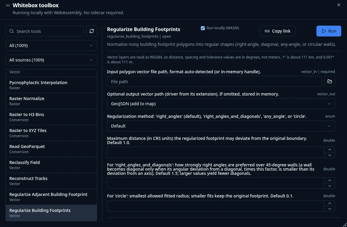
Open GeoLibre Web in any browser with nothing to install, or download a desktop installer for Windows/macOS/Linux, get the Mac App Store or iOS/Android app store builds, add the Chrome extension, or pip-install the Python package for Jupyter.Do I need Python or a server set up first to use the geoprocessing tools?No — the 1,000+ geoprocessing tools run entirely in the browser via WebAssembly with native raster/vector I/O, so there's no Python sidecar or server to install.
No — the 1,000+ geoprocessing tools run entirely in the browser via WebAssembly with native raster/vector I/O, so there's no Python sidecar or server to install.Is the Mac App Store version the same as the regular macOS download?Not quite — the App Store build is a sandboxed macOS version, so if you need unrestricted filesystem access you should use the direct desktop installer instead.
Not quite — the App Store build is a sandboxed macOS version, so if you need unrestricted filesystem access you should use the direct desktop installer instead.Does my geospatial data get uploaded anywhere?No — GeoLibre keeps everything local: processing happens on your machine with no server involved and no data ever leaving it.
No — GeoLibre keeps everything local: processing happens on your machine with no server involved and no data ever leaving it.Can I drive GeoLibre from Python or R instead of the GUI?Yes — the Python package can embed and control the full app inside Jupyter notebooks (with a DashMap helper for Dash), and an R package builds interactive maps in RStudio, Quarto, and Shiny.
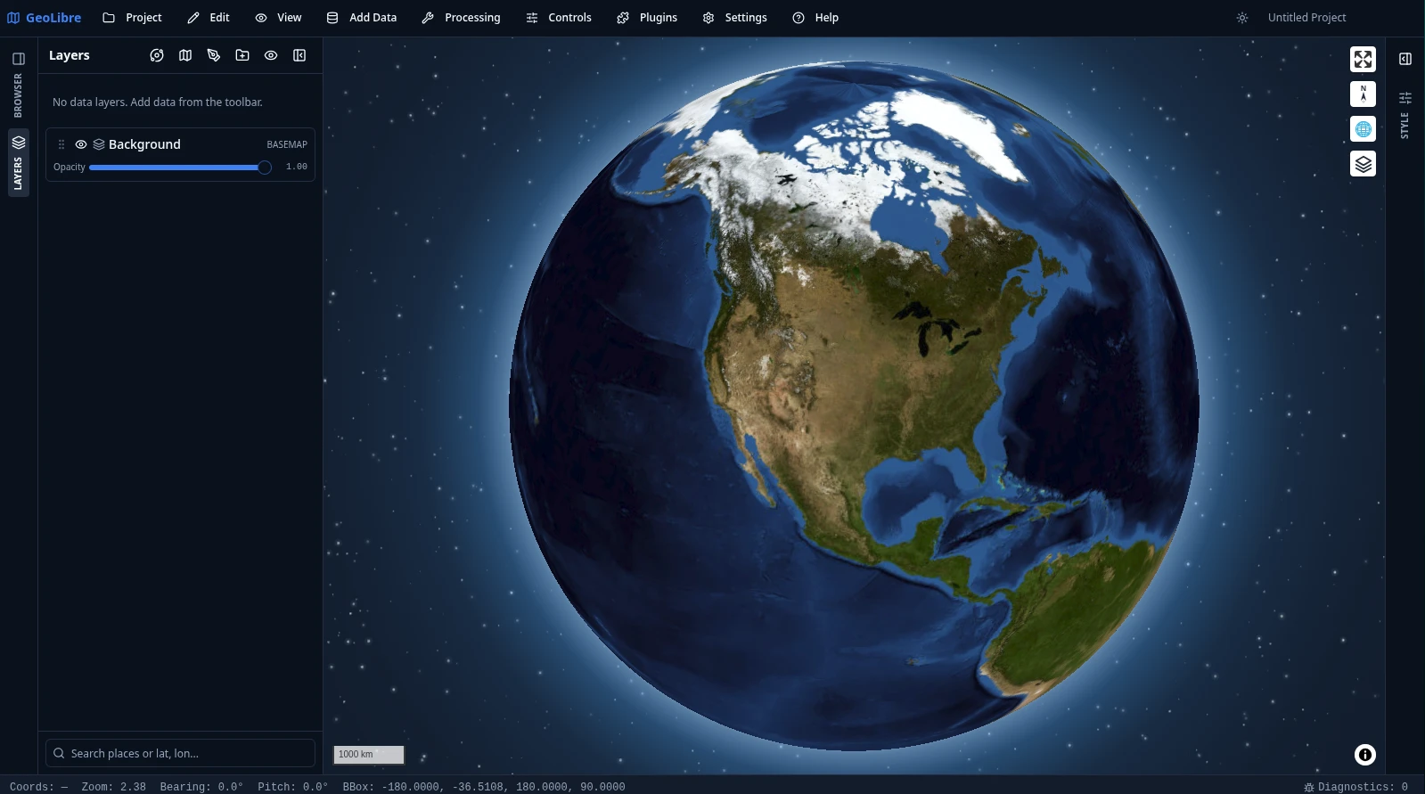
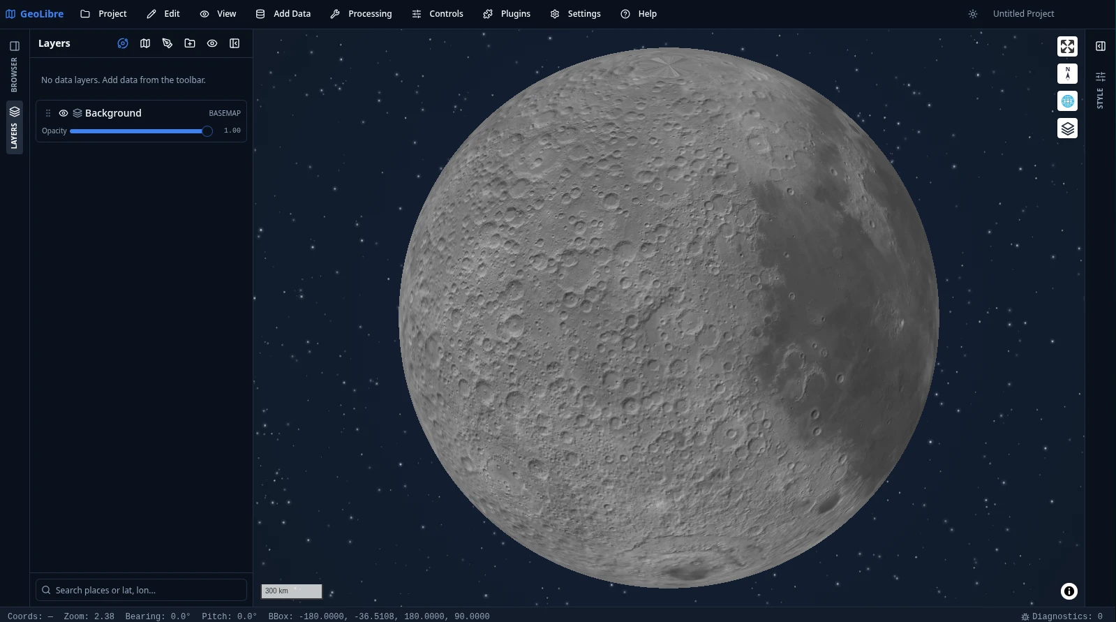
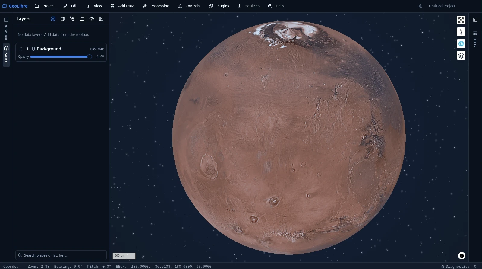
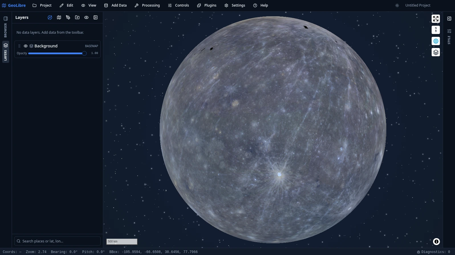
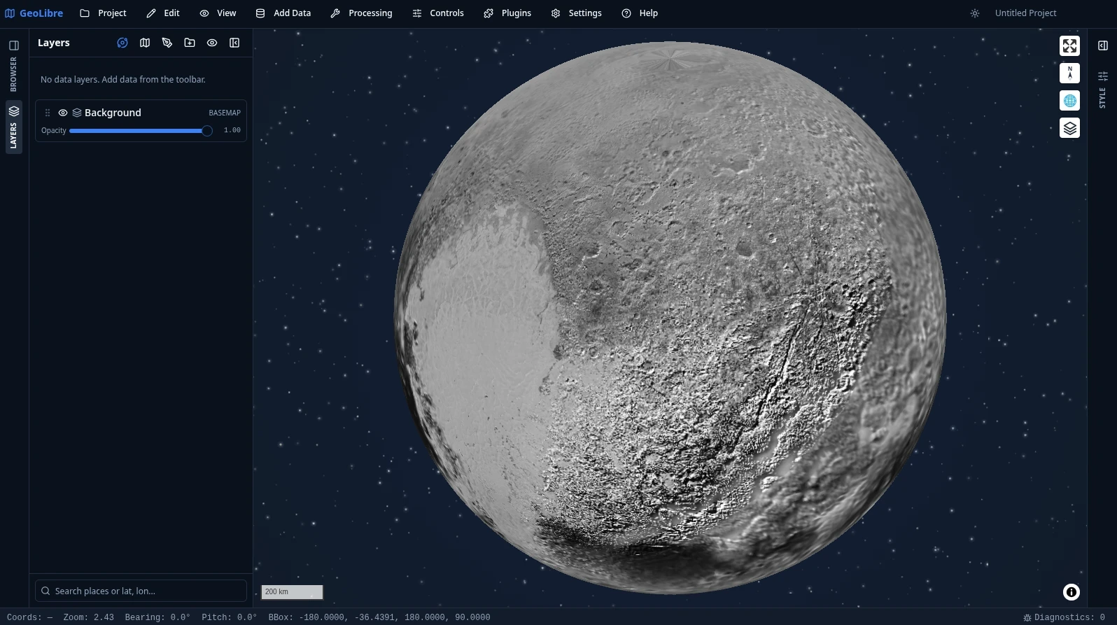
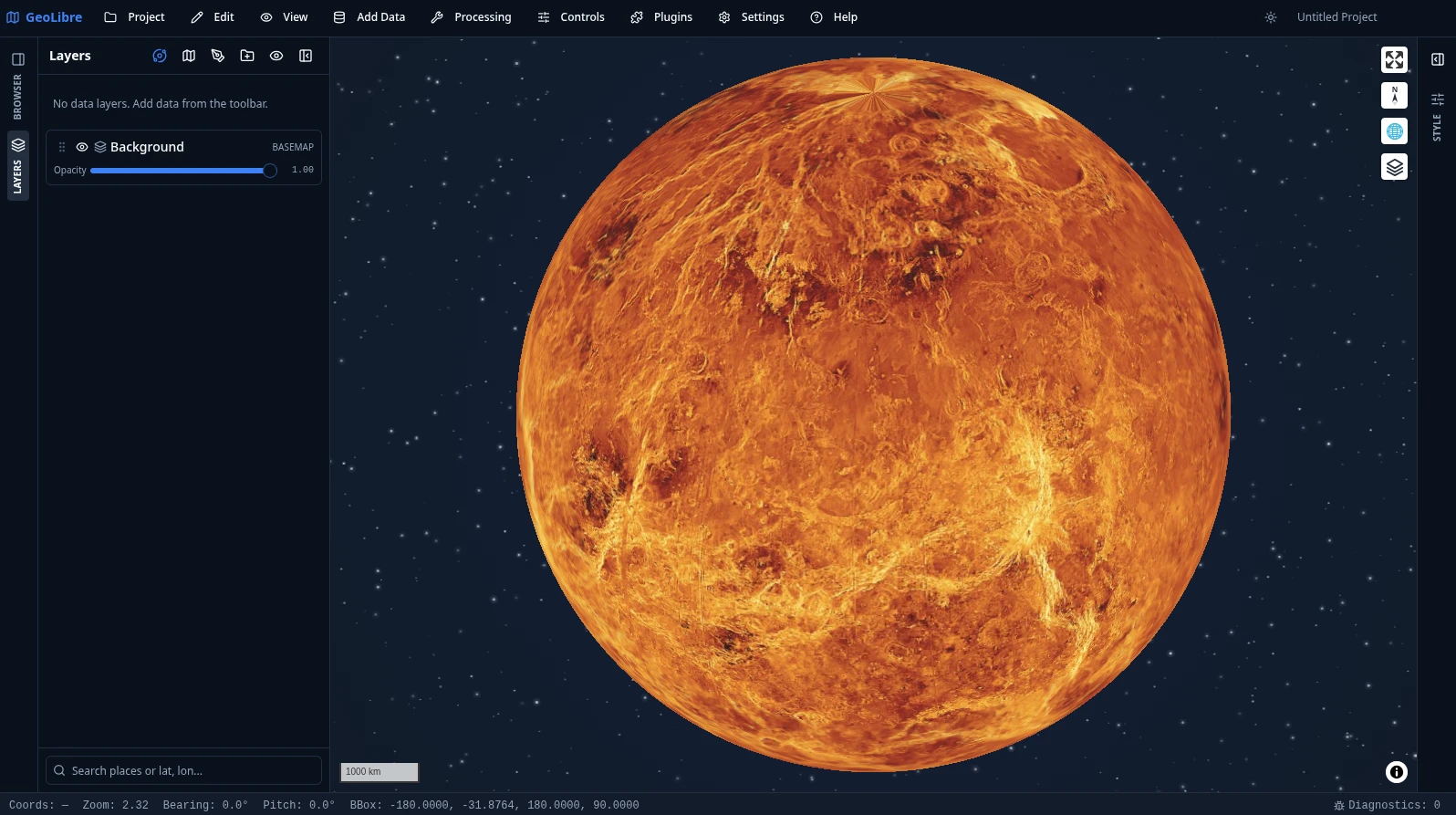
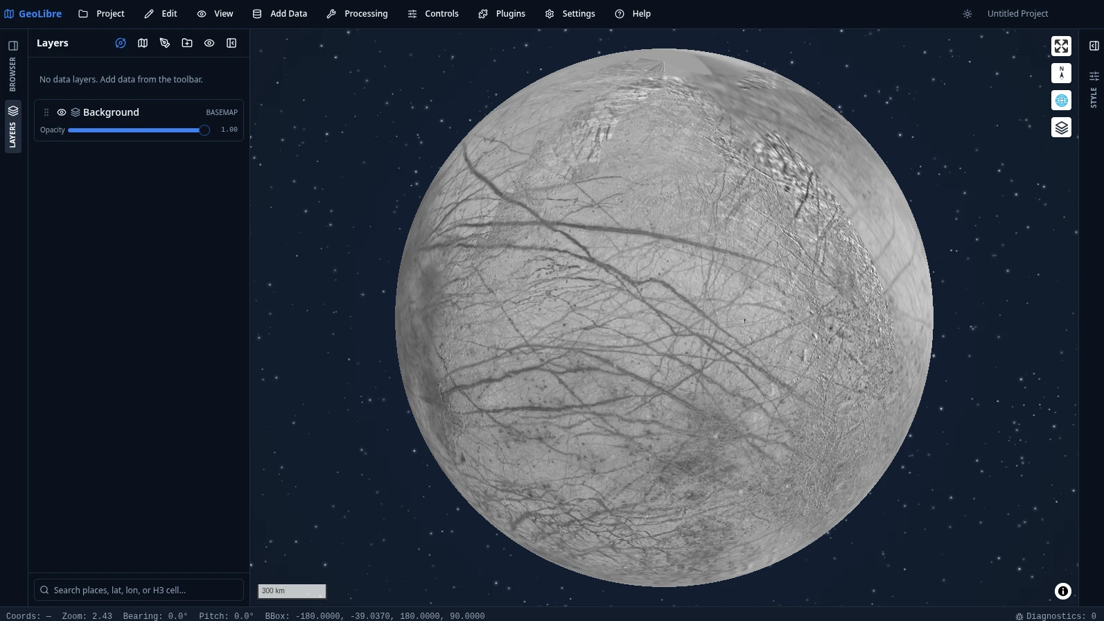
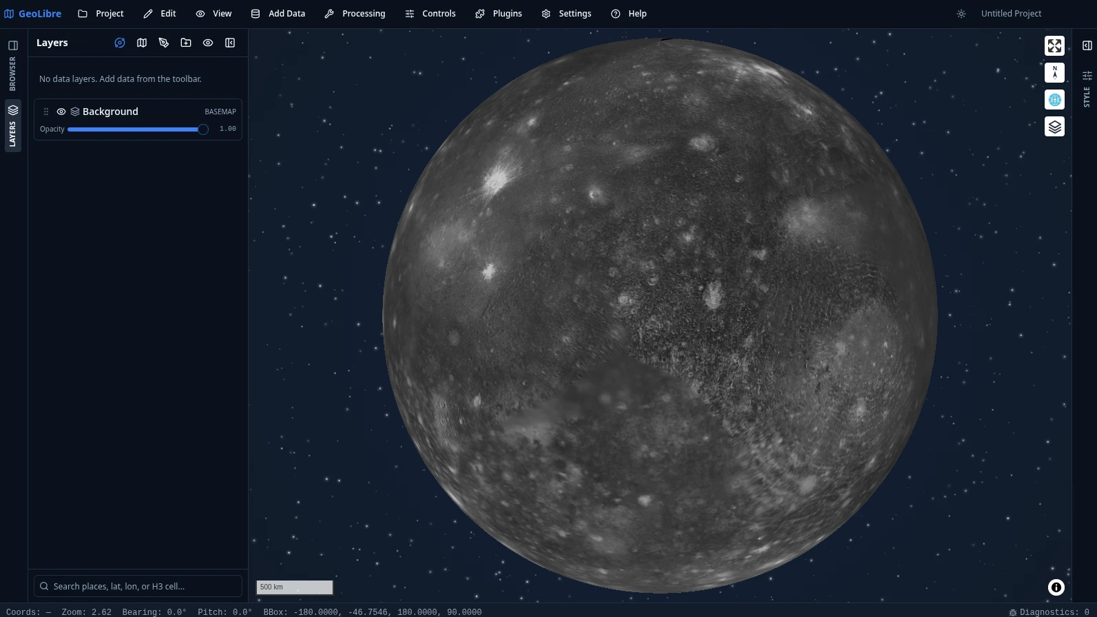
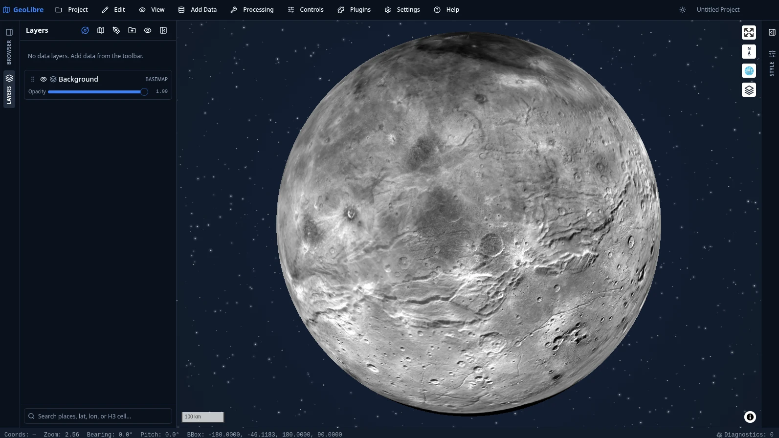
Yes — the Python package can embed and control the full app inside Jupyter notebooks (with a DashMap helper for Dash), and an R package builds interactive maps in RStudio, Quarto, and Shiny.Can GeoLibre map planets other than Earth?Yes — it ships planetary basemaps for the Moon, Mars, Mercury, Venus, Titan, Pluto, and the Galilean moons, with per-project ellipsoids so measurements match the body being mapped.
Yes — it ships planetary basemaps for the Moon, Mars, Mercury, Venus, Titan, Pluto, and the Galilean moons, with per-project ellipsoids so measurements match the body being mapped.Can I open datasets I find on random websites directly in GeoLibre?Yes — the Chrome extension lets you grab datasets found on any webpage and open them straight into GeoLibre.
Yes — the Chrome extension lets you grab datasets found on any webpage and open them straight into GeoLibre.How many geoprocessing tools does it include and what do they cover?Over 1,000 tools, including 313 for vector, 256 for raster, 154 for remote sensing, 100 for hydrology, 99 for terrain, and 65 for LiDAR, all browsable from the Processing menu.
Over 1,000 tools, including 313 for vector, 256 for raster, 154 for remote sensing, 100 for hydrology, 99 for terrain, and 65 for LiDAR, all browsable from the Processing menu.What are similar projects?kepler.gl, MapStage, NextChat, maplibre-gl-js, os, cesium, perspective, data-formulator
kepler.gl, MapStage, NextChat, maplibre-gl-js, os, cesium, perspective, data-formulatorWhich topics is it in?maplibre, tauri-app, duckdb, gis, geospatial, jupyter, tauri, cloud-native, chrome-extension, browser-extension, wasm, data-visualization
maplibre, tauri-app, duckdb, gis, geospatial, jupyter, tauri, cloud-native, chrome-extension, browser-extension, wasm, data-visualization